The U.S.Coast Survey established a survey station called HOWARD back in 1859. It was one of a series of First Order triangulation stations upon which all the harbor surveys along the east coast were based. Horizontal angles were measured with a large 3-foot dia. circle theodolite that required two operators to use. Precise Latitude observations were also made with a Zenith Telescope which was used to micrometer star pairs as they passed over the zenith point above the HOWARD station. Precise Longitude came from the Calais (Maine) observatory, Thomas Hill (Bangor, ME) Observatory, and Harvard College Observatory, all connected to Greenwich via the electromagnetic telegraph (by timing star passages). Longitude was pro-rated from the observatory stations to the remote triangulation stations, like HOWARD.
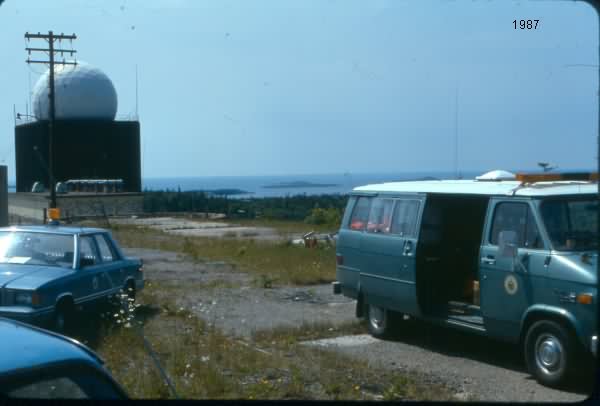
One of the radomes was built exactly upon the center of this station, apparently so that a precise lat & long would not have to be calculated for it. I am sure the positon of the other radomes were calculated. ***I am still trying to find out what method was used in survey layout of the radomes, which was I think done by the Army Corps of Engineers***.
In 1960, the U.S. Coast & Geodetic Survey established a station called HOWARD 2 1960, which could be used by surveyors and mappers, as the original station was occupied by one of the radar antennas and radome.

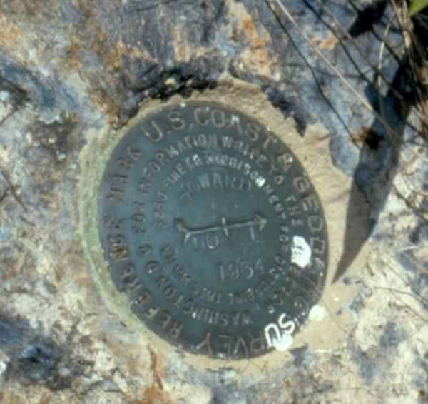
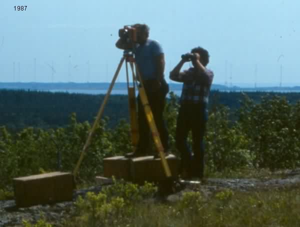
In 1987, the Maine Dept. of Transportation occupied HOWARD 2 for the purposed of tying off a highway Right of Way survey in Machias. You will note one image is of Reference Mark No 1, which points to the original HOWARD 1859 station. The radome and building were gone and all that remains is a concrete slab.


Another interesting aspect of this site is the aggregate used in the concrete for the AFS. It contains a stone called Jasper, which is readily seen in the broken concrete. Jasper Beach is also nearby.
Harold & Deborah Nelson
Newport, ME