Contributed by Dick Konizeski
Dick Writes:
I made it down to historic Fort Stevens State Park last weekend, and although I wasn`t able to go inside the Lashup site L36, located at Battery Mishler ( you have to go with a tour group and I just missed it by 15 minutes), I was able to walk around the outside, and also to get the information provided in the enclosure.
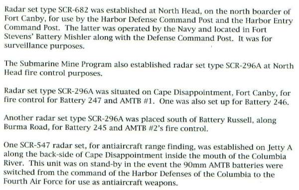
The information in the enclosure is taken from page XIX of APPENDIX II (entitled FIRE CONTROL), from the 2005 publication `ANECTDOTAL TIME LINE FOR FORT STEVENS`, copyright 2005 by David Lindstrom, All Rights Reserved Published by David Lindstrom, Gresham Oregon forts@teleport.com I bought the $7.50 48-page publication in the Museum located on site.
To clarify the use of the fire control radars mentioned in the text, David Lindstrom includes information stating that the location of the various batteries and support facilities of the three Columbia River forts (Forts Canby and Columbia on the Washington side and Fort Stevens on the Oregon side) demonstrate how the forts operated as a single defense operation, with Fort Stevens acting as the Command Post for the Harbor Defenses of the Columbia River.
It`s interesting to note that Mr Lindstrom lumped all the radars together under the appendix.
