.................................................................................................................................................................................................................
Except as noted, all photos are from September 2018 and by Tom Page

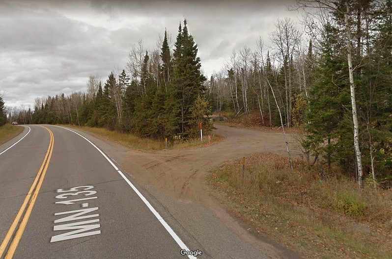
This first photo, courtesy of "Google Street View," shows the access road where it branches off from MN State Road 135 [looking northwest]
.
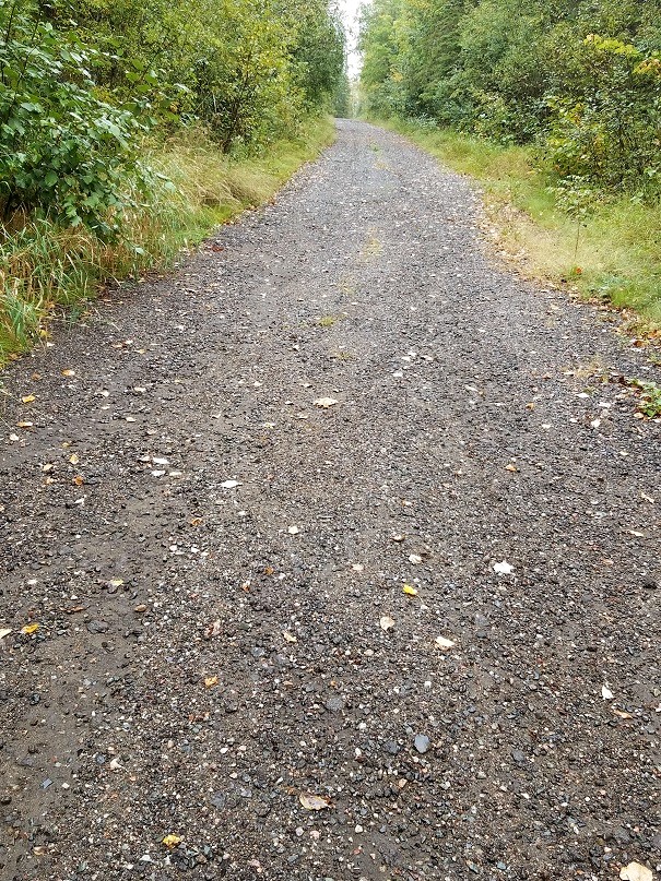
A section of the gap-filler radar site access road, looking uphill [looking east-northeast]
.
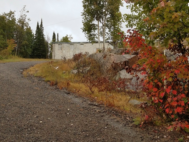
The top of the site access road, and the first view of the gap-filler radar building [looking north-northwest]
.
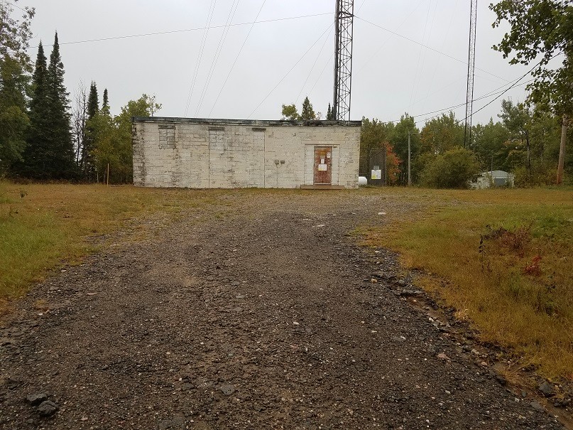
The radar building's south side. The radar-equipment section is on the left; the diesel-generator section is on the right. [looking due north]
.
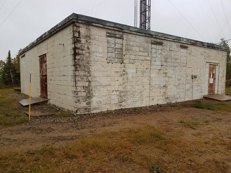
The west end and the south side of the radar building --- the door to the radar-equipment section is the one on the left, and the door to the diesel-generator section is the one on the right. [looking northeast]
.
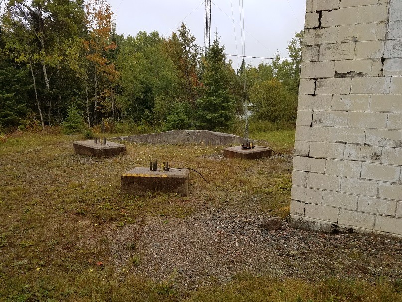
Here are the three radar-tower foundations/footings on the north side of the building. The three bolts painted yellow appear to serve as earth-ground connections for the WEVE-FM radio-transmitter equipment now housed inside the old radar building. Also, one foundation/footing serves as an anchor for one set of radio antenna-mast guy-wires. [looking northeast]
.
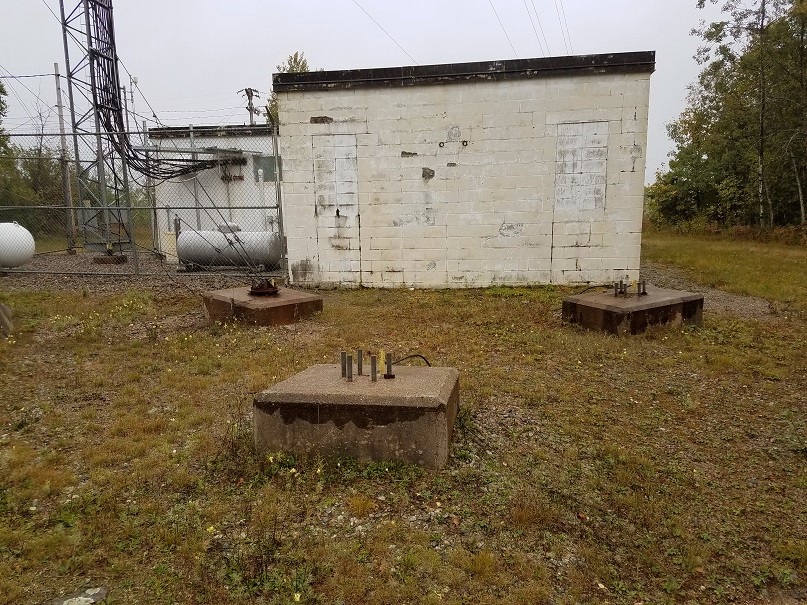
Another view of the three radar-tower foundations/footing [looking due south]
.
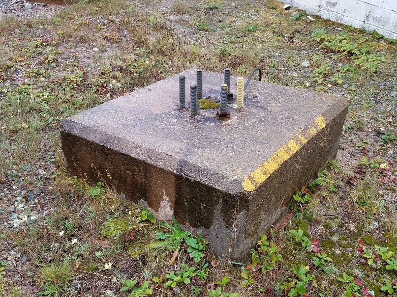
A close-up of one of the radar-tower's three foundations/footings [looking southeast]
.
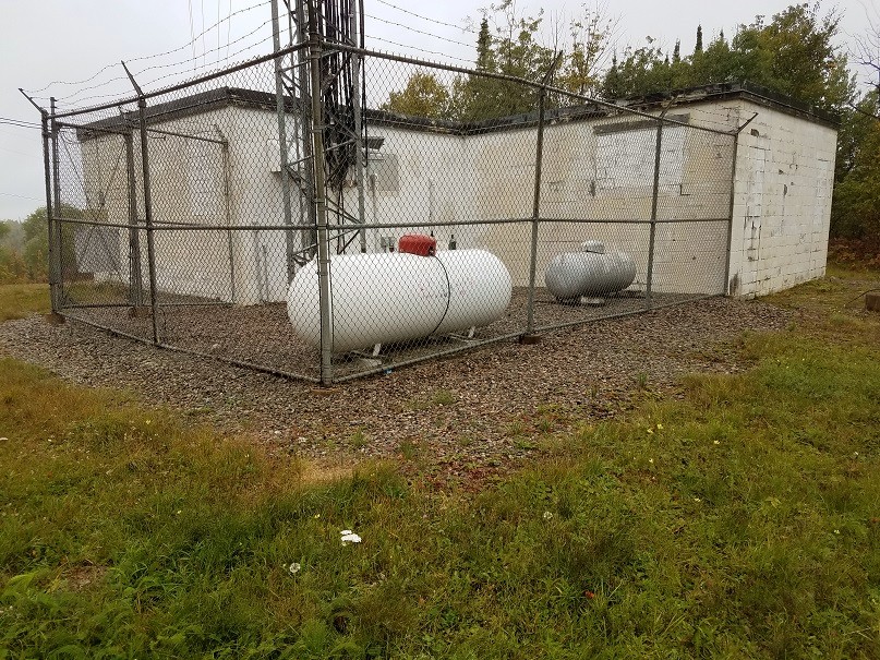
The radar building, inside the "L." The diesel-generator section is on the left, and the radar-equipment section is on the right. [looking southwest]
.
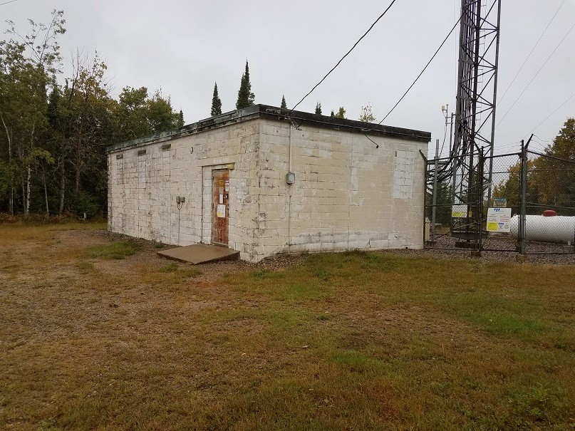
This final photo shows the diesel-generator section of the radar building at its southeast corner. [looking northwest]
.