Recent Photos of Boise, ID FAA Radar Site
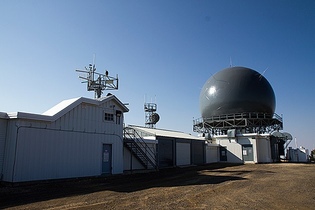
source: http://for91days.com/photos/Idaho/Snow%20Bank%20Mountain/Radar-Station-Idaho.jpg
------------------------------------------------------------------------------------------------------------------------------------------------------------
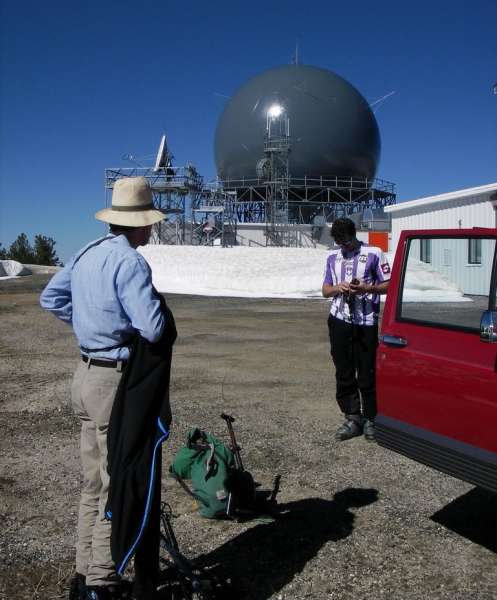
Photo source: http://picasaweb.google.com/lh/photo/stR66osn9OMSUgUHxV0yqw
(C) Copyright - All Rights Reserved. Displayed here for historical, non-commercial purposes only.
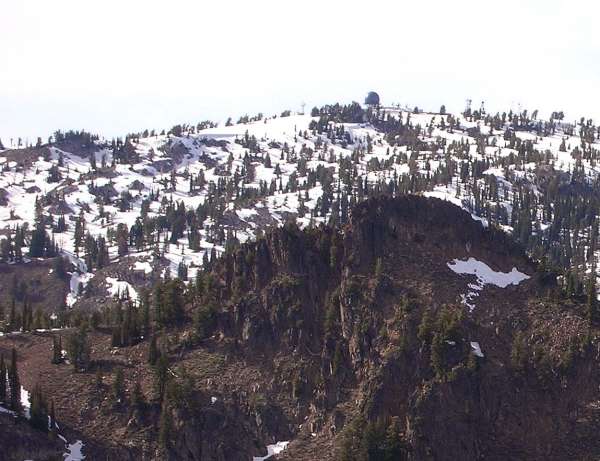
Photo source: http://www.peakbagger.com/peak.aspx?pid=3204.
Photo source (below): http://picasaweb.google.com/zvickery/WestMountainHike#
The radome has been replaced, and is now blue.
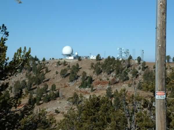
Source: http://www.idahosummits.com/snowbank/snowbank.htm
The radar site is atop Snowbank Mountain.
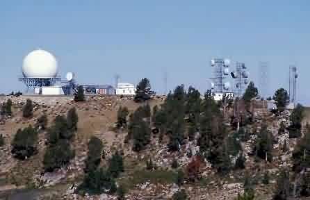
Photo source: http://www.valleycountyeconomicdevelopment.com/images/radar_station.jpg
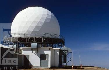
The dome of an FAA radar station at Snowbank Mountain near Cascade, Idaho.
David R. Frazier / Photo Researchers, Inc.
Photo source: http://db2.photoresearchers.com/feature/infocus262