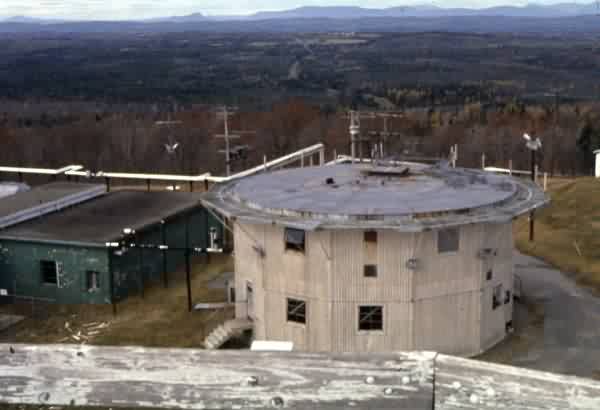
Charleston AFS, ME Recent Photos
The following eight photos, taken in August 2014, were contributed by Dave Larsen, larsen4@comcast.net
.
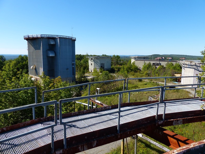
This photo shows most of the radar site / operations area, as viewed from the former AN/FPS-26 height-finder radar / AN/FSS-7 SLBM radar tower. The tall tower on the left housed the AN/FPS-27 search radar. The other towers housed AN/FPS-6 height-finder radars or an earlier search radar.
[looking southwest]
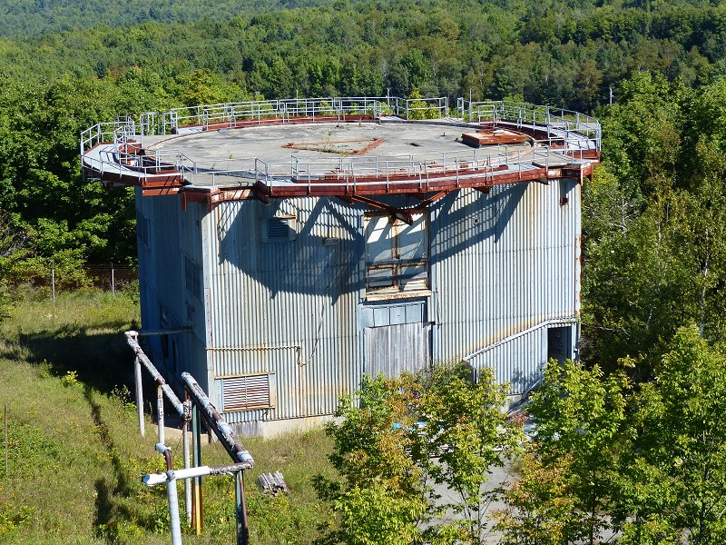
This photo shows the former AN/FPS-26 / AN-FSS-7 radar tower as viewed from the former AN/FPS-27 radar tower.
[looking northeast]
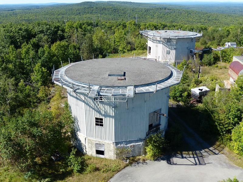
This photo shows a former search radar tower and one of the former AN/FPS-6 height-finder radar towers. Just beyond, several antenna poles from the former GATR transmitter site can be seen among the trees.
[looking west]
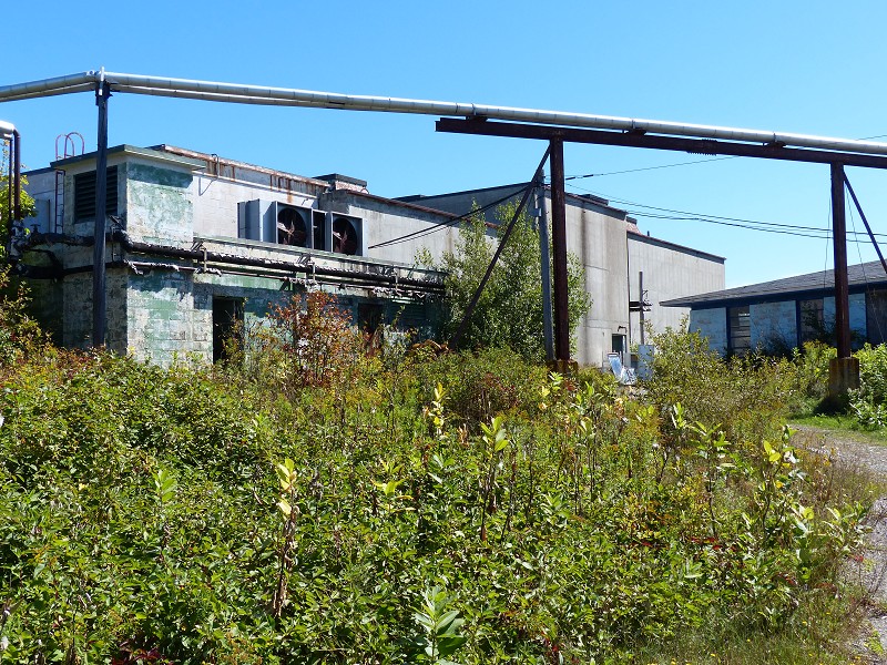
This photo shows the former AC&W radar operations and BUIC-III operations blockhouse.
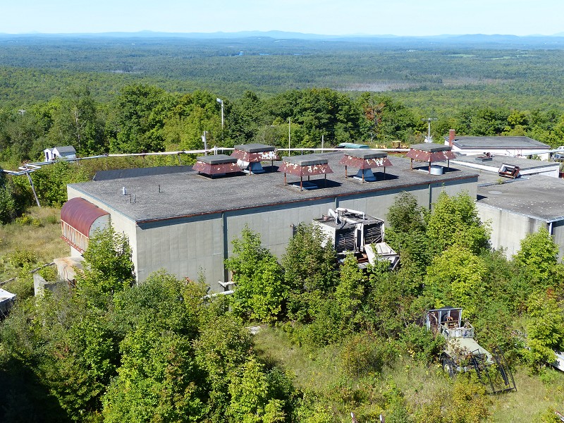
This photo shows another view of the former AC&W radar operations and BUIC-III operations blockhouse.
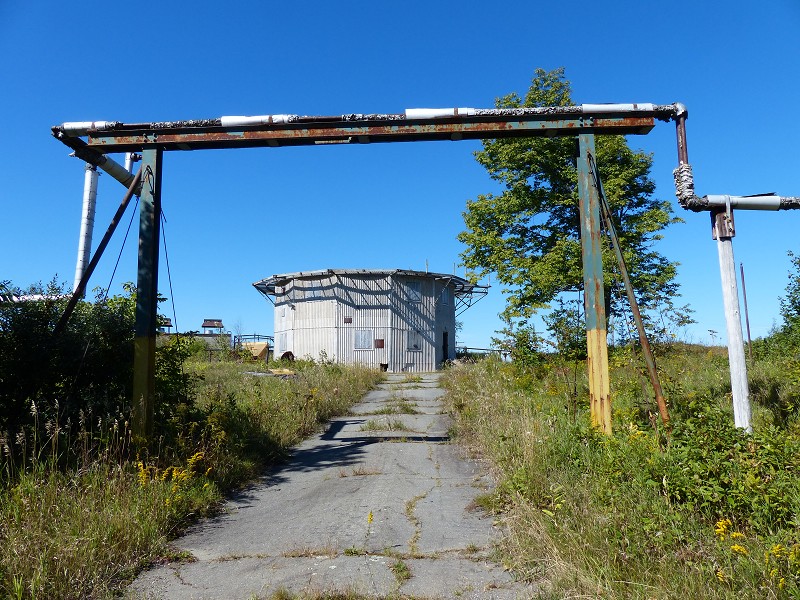
This photo shows one of the former AN/FPS-6 height-finder radar towers.
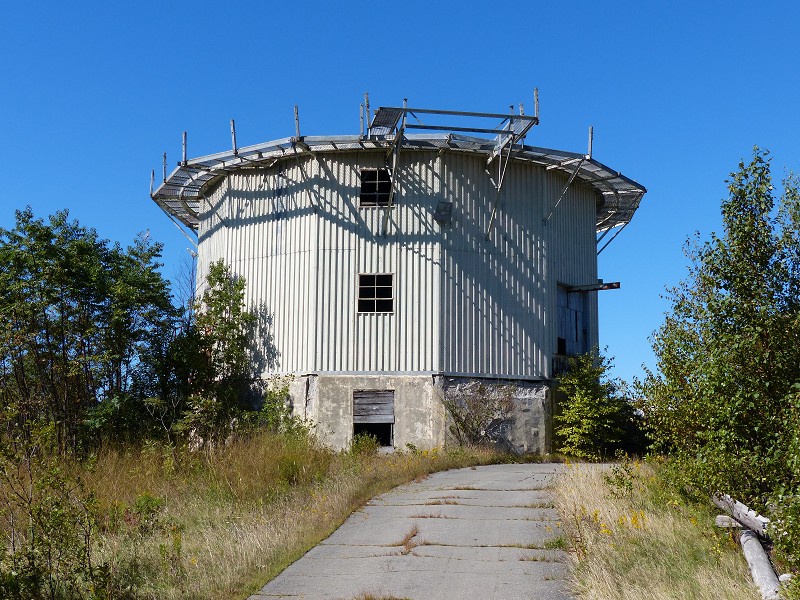
This photo shows a close-up of either one of the former AN/FPS-6 height-finder radar towers or an earlier search radar tower.
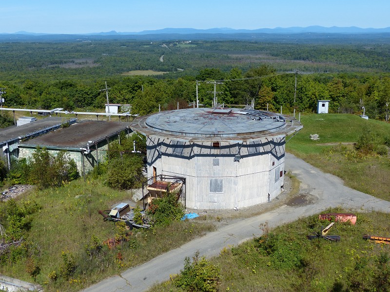
This final photo shows the other former AN/FPS-6 height-finder radar tower.
[looking north]
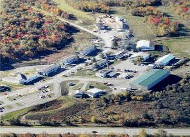
Now the Charleston Correctional Facility
April 2001 photos and notes contributed by Tom Page from the "New" Tour, 2001
Located north-northwest of Bangor on ME Rte 15, west side, roughly 20 miles from Bangor.
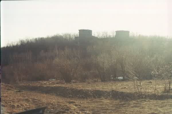
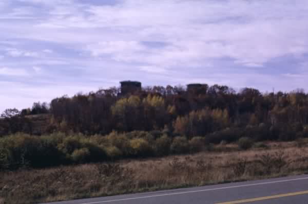
The former radar / ops area of the 765th Radar Squadron and Det 6, 14th Missile Warning Squadron (looking west from Maine Rte 15). [The rest of the old station is a correctional facility, so no photography was allowed in that area. The family-housing area has now been entirely demolished, and a new juvenile correctional facility is currently being built in its former location.]
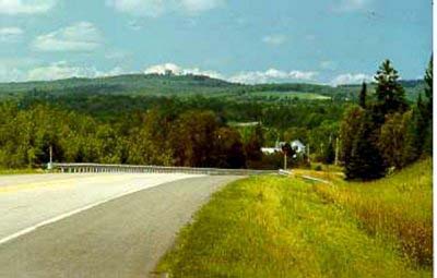
Looking north, about 1981
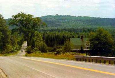
Looking south, about 1981
The following photos c. 1985 by Harold Nelson
