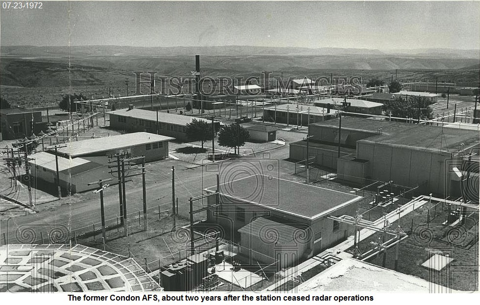
Recent Photos of Condon AFS, OR
-----------------------------------------------------------------------------------------------------------------------------------------------------------------------
The first six photos were taken by Tom Page on 18 September 2016:
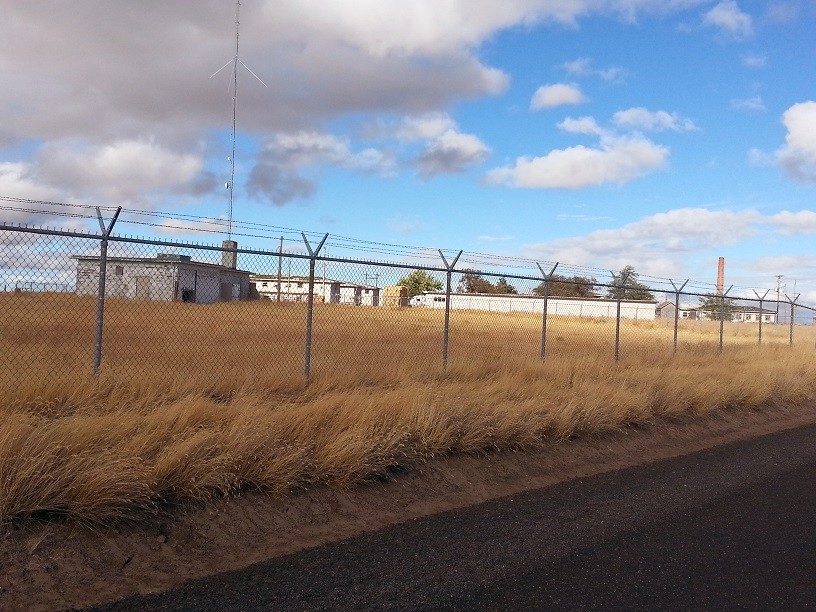
The west end of the former radar station, with the old Radio Receiver building on the left, Barracks near the center, and Bowling Alley on the right (looking northeast)
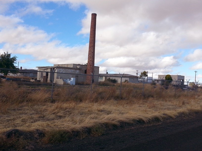
The approximate center of the former radar station showing the old Heating Plant in the foreground (looking northeast)
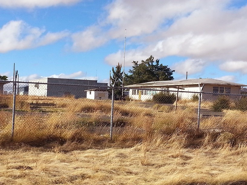
The old radar Operations building on the left, and the old Headquarters / Admin building on the right (looking north-northwest)
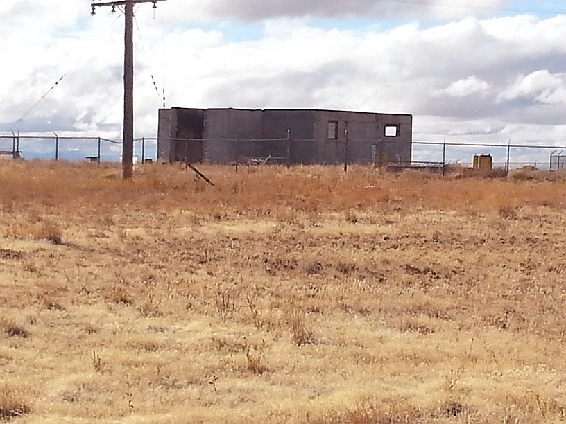
The foundations of the AN/FPS-27 search radar tower near the center, with the foundations of one AN/FPS-6 height-finder radar tower in front and slightly to its right (looking northwest)
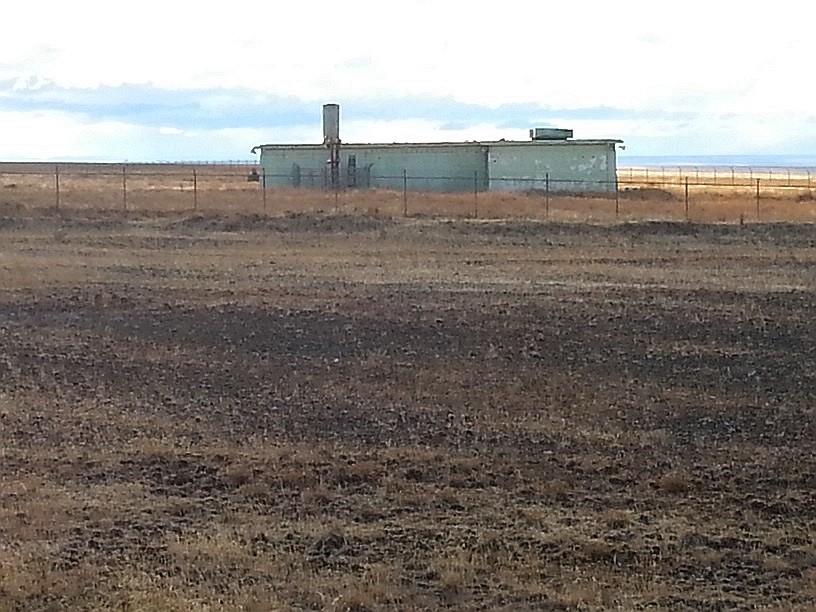
The northeast corner of the former radar station showing the old Radio Transmitter / GATR building (looking west)
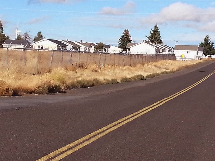
The former Family-Housing Area; most of the houses appeared to be occupied. A few were vacant, and two had "For Sale" signs out front. All appeared to be in relatively good condition. (looking east-northeast)
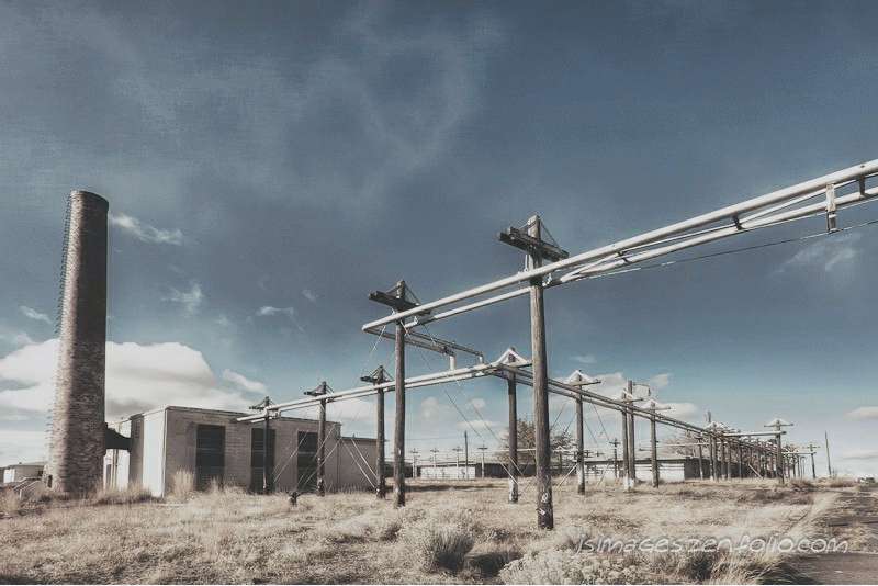
The heating plant
Source: http://www.flickr.com/photos/stinkypete/6392666597/
� Copyright - All Rights Reserved - Displayed here for historical / non-commercial purposes only.
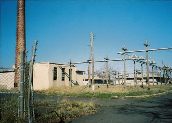
This 2004 photo comes from the Oregon Dept of Environmental Quality website
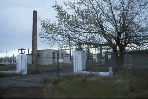
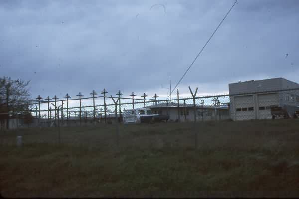
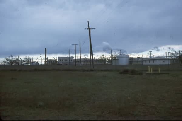
The following 1996 photos contributed by Mark Morgan
.................................................................................................................................................................................................................
