Dow AFB (BOMARC), ME Recent Photos
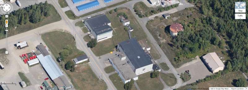
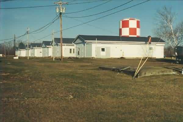
2013 Looking North
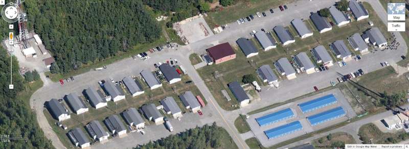
2013 Looking North
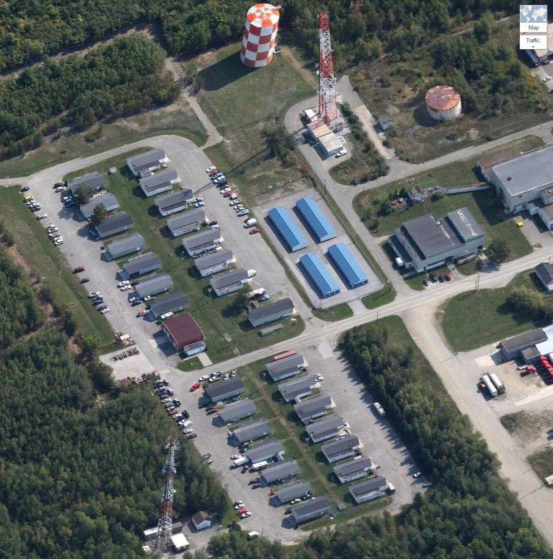
2013 Looking East
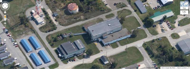
2013 Looking East
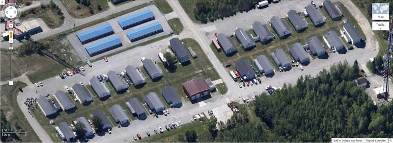
2013 Looking South
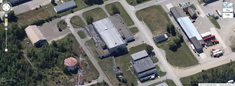
2013 Looking South
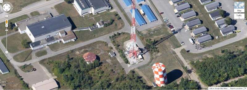
2013 Looking West
Feb & Mar 2008 photos contributed by David Dauphinee
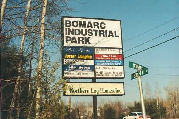
Entrance sign, located on Burleigh Rd. This is about 2.5 miles from the airport.
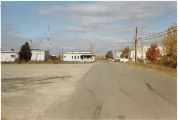
: Entrance road. Ten years ago, there were no housing developments here and my friends and I used to come drag race our cars down this street. Now there are several large developments (just out of frame) and you can’t even think about doing that sort of thing.
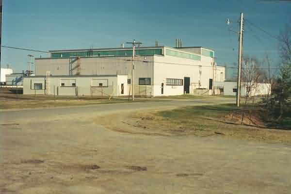
This picture was taken from the entrance road, facing northwest. The guard shack is on the left and on the right is the assembly building, now in use as a chemical company of some kind.
These pictures were taken around the outside of the assembly building, going from counterclockwise.
Assemble Bldg side
Assemble Bldg rear
Assemble Bldg rear
Assemble Bldg front - looking approx northeast
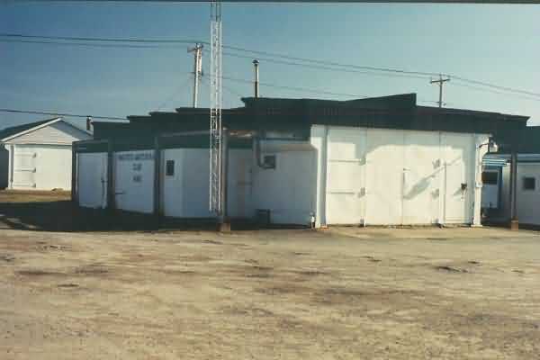
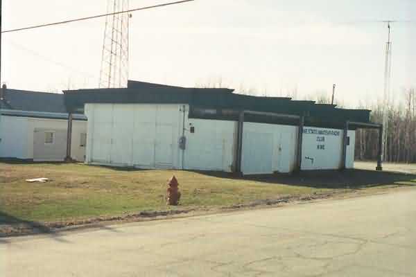
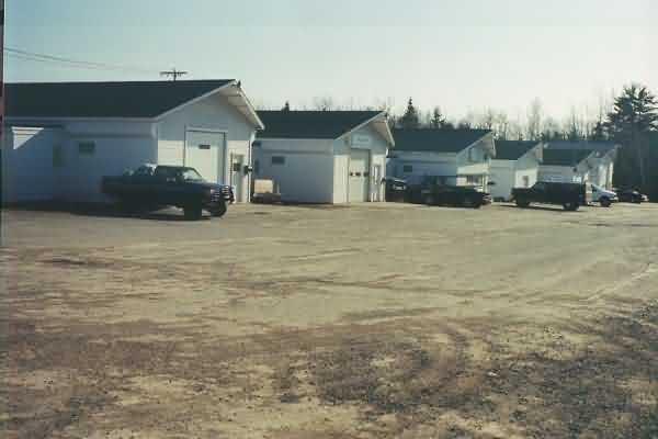
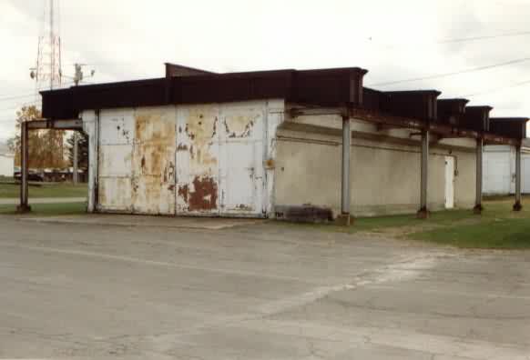
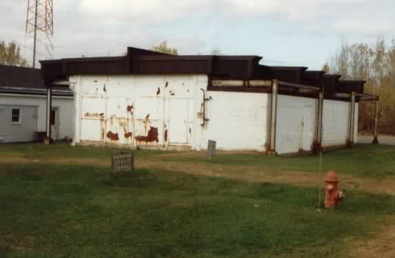
This (also next photo) is the last “untouched” missile enclosure. It was once used as a club house for a radio club. I believe it is now vacant. All of the other missile enclosures have pitched roofs, regular doors, etc.
This picture was taken from the far west side of the base, looking almost straight east up the row of missile enclosures. The enclosure from two pictures above is about 300 feet up on the left.
This is the compressor building. The large cement pad is where all of the tanks sat.
This cinder block building is behind the assembly building. This picture was taken facing northeast
Inside the little cinder block building (above).
The back side of the cinder block building (above), taken facing northwest.
This was the diesel fuel tank for the base. At some point, someone cut a couple of holes in the side and turned it into a garage of some sort.
Close up of the doors.
Inside the "garage".
Inside the "garage".
These stairs were still very sturdy and led to the top of the tank garage.
On top of the tank.
On top of the tank.
On top of the tank.
On top of the tank.
: This is the back corner of the assembly building. Just out of frame at the right is the power generation building.
Another shot of the former diesel fuel tank from the little cinder block building.
This shot was taken looking southeast from the power generation building towards the assembly building.
Power plant, facing southeast.
Power plsnt, facing southeast.
Power plsnt, facing south.
The door was broken off the hinges to the above ground part of the power generation building. Apparently it is now used for broken plumbing fixtures.
Another view inside the power plant.
There’s a perimeter road of sorts that runs around the northeast corner of the base. It looks to be a snowmobile trail now and not much else. If you walk around, there’s a lot of trash (old TVs, couches, etc).
This was taken looking straight down the access road from the hole in the fence. At right is the untouched missile enclosure and further up on the left is the assembly building.
This photo and the next were taken looking southwest, down the row of missile enclosures.
Photos contributed by Scott Murdock
