GATR building
GATR building
March 2005 photos contributed by Mark Morgan, TSgt, Washington ANG
GATR building
GATR building
February 1999 photos and notes by Tom Page
Email: tepage@hotmail.com
Tom writes:
"I elected to follow back roads (state route 5 north to route 10 east, all the way to
Clio, where I picked up route 51 north to state route 30 east to Eufaula. The former
Eufaula AFS sits alongside Outback Road, just north of route 30, and about 6 miles
west of route 30`s intersection with US Route 431 (Eufaula). The site is now the
Eufaula Youth Center. It was getting dark as I arrived at the site, not suitable for
photography. I went to the visitor`s building, and was able to contact the center`s
director. After explaining the purpose for my visit, I was given permission to come
back the next morning, and — with an escort — take pictures of the buildings. I
found a motel in Eufaula for the night. Later that evening, the weather front
passed through, and the weather the next morning was again fair ... though overcast.
Back at the former Eufaula AFS the next morning, I was allowed to tour the site
with the escort. I observed that two footings of the prototype AN/FPS-24 tower
(see photo on the web site) were still visible. Just north of the AN/FPS-24
equipment building, a cable trough led to the suspected site of the AN/FPS-90
tower; although no footings remained, this nonetheless confirmed (to me, anyway)
where that tower used to stand. Across the site`s entrance road still stands the old
AN/FPS-26A radar tower (standard arctic style). Note that other AN/FPS-26
heightfinder radar towers were square, not `rounded` like this one; a standard tower
was used here because this AN/FPS-26 radar was the prototype (S/N 001), installed
before the standard square tower was conceived. [Note that the prototype
AN/FPS-27 at Crystal Springs AFS was in this rounded type of tower, not the tall
concrete tower used later for production AN/FPS-27 radars.]"
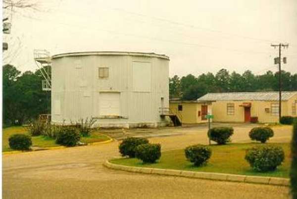
Note that the tower is not the typical square shape of other AN/FPS-26 towers (this was because the radar was the prototype).
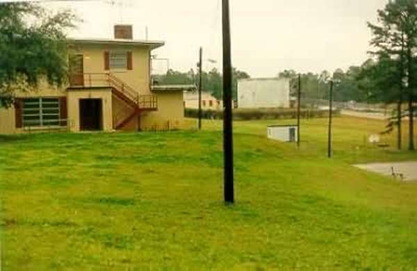
View of the old AN/FPS-26 heightfinder radar tower, as seen
from the barracks area (looking east-southeast).
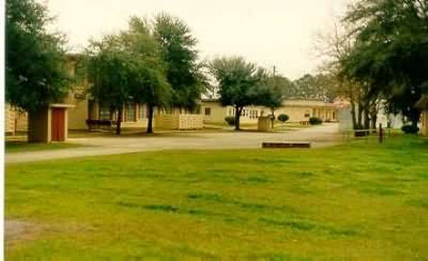
View of the cantonment area (looking east).
Prototype AN/FPS-24 search-radar building (right), with two
visible tower footings just to its west. [The other two tower footings
were covered over, but the locations were discernable.] View is to the
east-northeast.
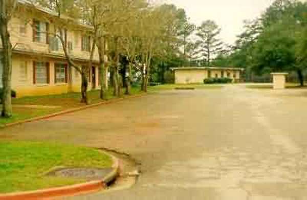
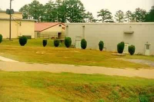
The building at the end of the road (far west end of the
site) appears to have been the old GATR building. It has the right
shape and size, plus there`s a 3-phase transformer bank on the
northwestern side.

View of the family-housing area across the road (Outback
Road), beyond the trees. View is from the barracks area, looking ~
southwest.
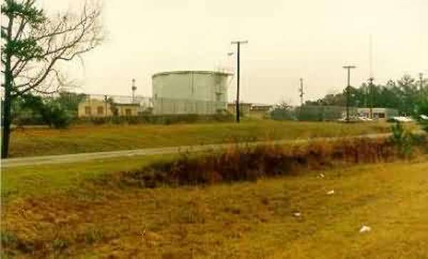
View of the former radar site from the old trailer-court
area, across the road and just east of the family-housing area (looking
northeast).
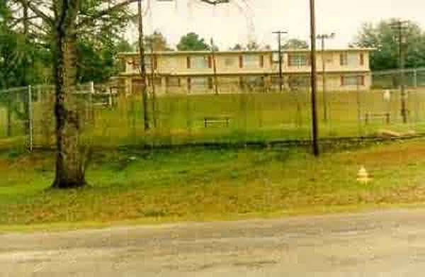
Another view of the former radar site from the road (looking
north).
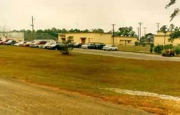
Yet another view of the former radar site from the road, east
end of the site (looking northwest). LRR Operations building is in
center.
1999 photos below contributed by Rick Walker
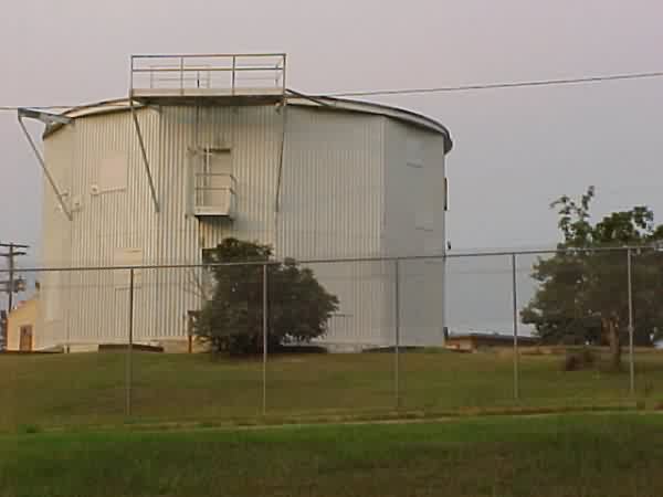
AN/FPS-26 tower
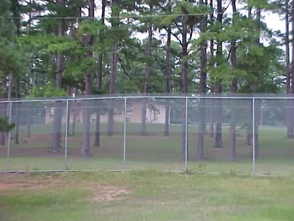
GATR Building