Recent Photos of Eureka GFA, MT
---------------------------------------------------------------------------------------------------------------------------------------------------------------------------
The following photos were shot by Tom Page on 19 June 2018:
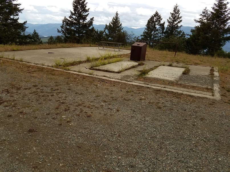
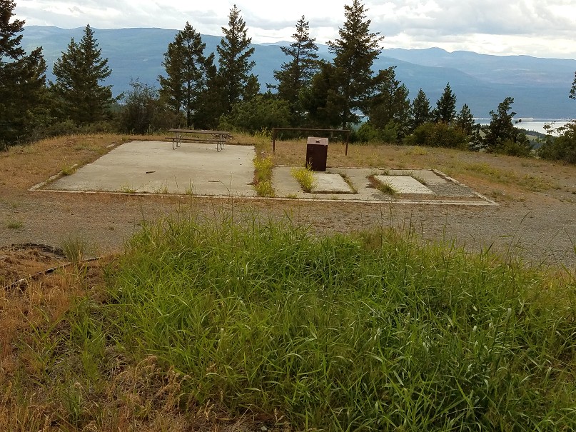
This former gap-filler radar annex was located atop Black Butte, right next to the fire-lookout tower. The road to the top is gated during winter months. The forest ranger at the NFS office in the town of Eureka (where I stopped to ask directions) said the gate should be unlocked since it was after 1 June. When we arrived, we discovered the gate was still locked. So, we had to go the last mile on foot. The road was fairly steep, and the mosquitoes were bad, but the view at the top was worth it.
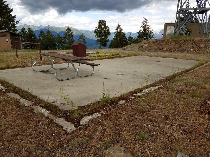
The gap-filler radar building foundations (looking northeast)
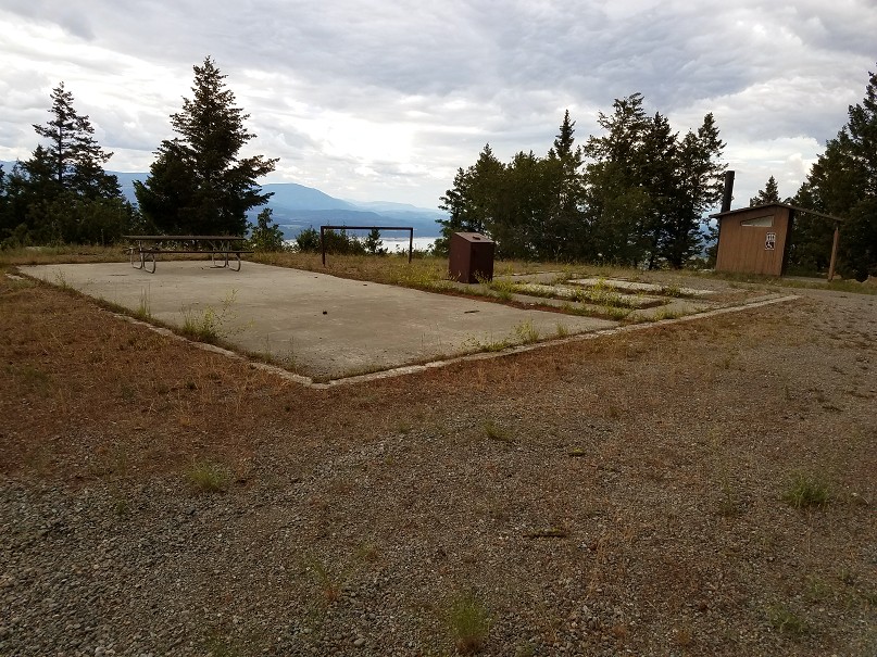
The gap-filler radar building foundations (looking northwest)
.
.
The gap-filler radar building foundations (looking west)
.
.
The gap-filler radar building foundations (looking west-northwest)
.
.
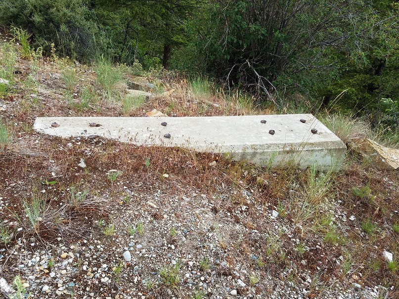
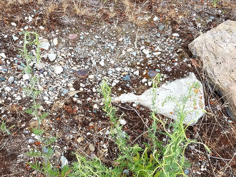
One of the three radar-tower foundations, the one furtherest from the building -- this is the only one that is fully exposed; the other two are covered by soil and rocks (looking southwest)
.
.
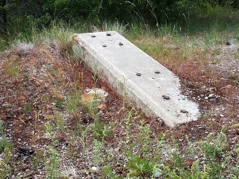
Another view of the one fully-exposed radar-tower foundation (looking northwest)
.
.
One other radar-tower foundation, while covered, had the tops of a few bolts still showing; this was the one on the right as one faced the building (looking east)
.
.
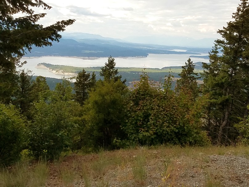
This is the view from Black Butte to the north-northwest
.
.
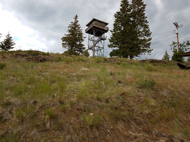
This final view shows the neighboring fire-lookout tower on Black Butte, as seen from the access road down below; the gap-filler radar facility stood to the left (west) (looking northeast)
.
---------------------------------------------------------------------------------------------------------------------------------------------------------------------------
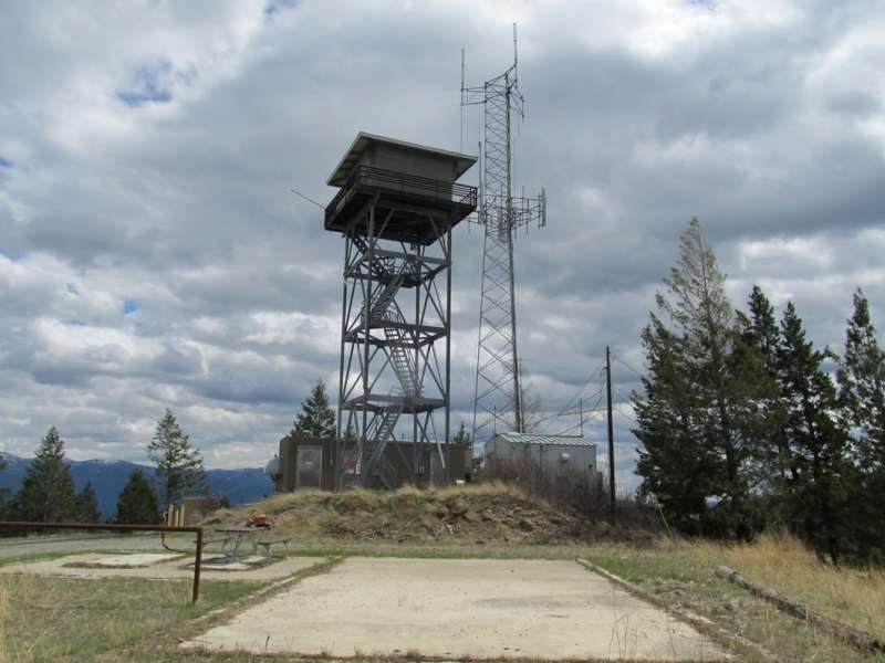
Source: http://www.summitpost.org/black-butte/787634
Image reproduced for historical purposes only
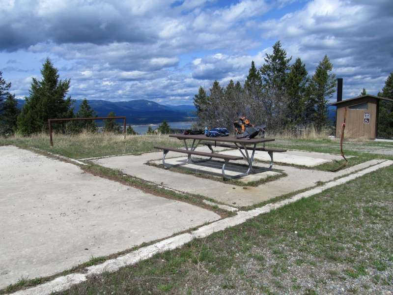
Source: http://www.summitpost.org/black-butte/787634
Image reproduced for historical purposes only
--------------------------------------------------------------------------------------------------------------------------------------------------------------------------
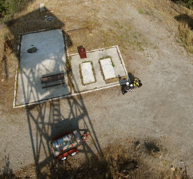
....
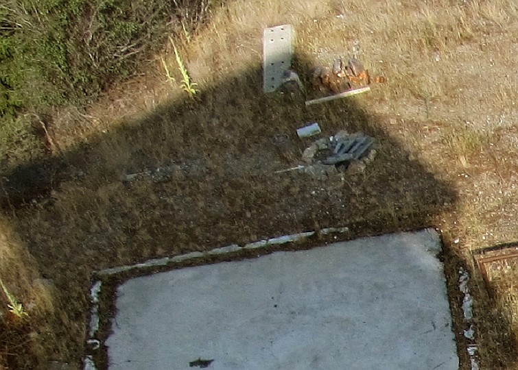
The second image is a close-up of the first, showing what remains of the gap-filler radar tower footings / foundations
Source: https://www.flickr.com/photos/montanatom1950/14816719690
Images reproduced for historical purposes only


