...
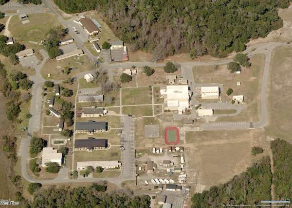
Main site - looking North
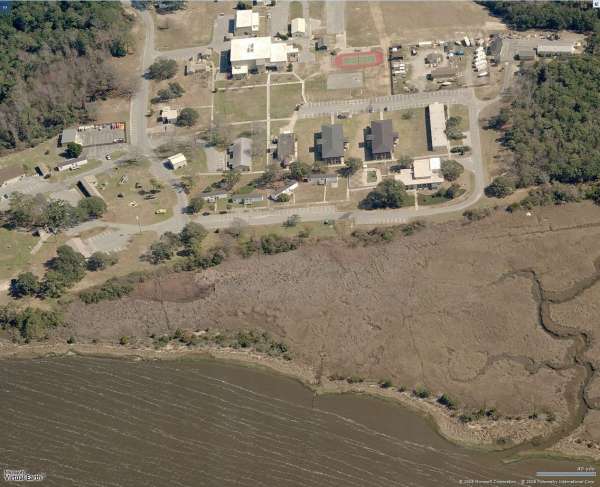
Main site - looking East
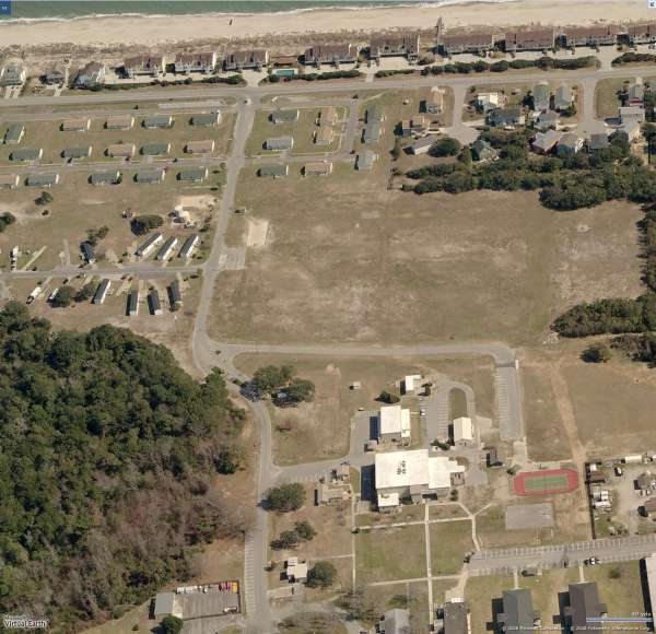
Main site - looking East
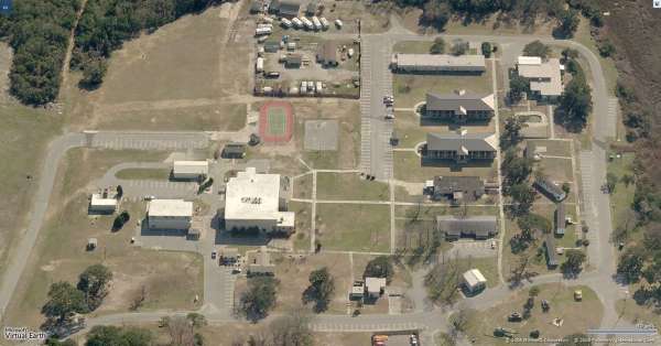
Main site - looking South
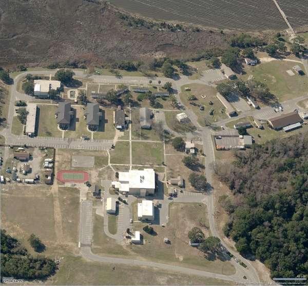
Main site - looking West
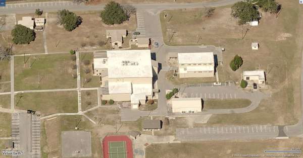
Ops & Radar - looking North
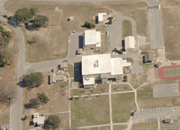
Ops & Radar - looking East
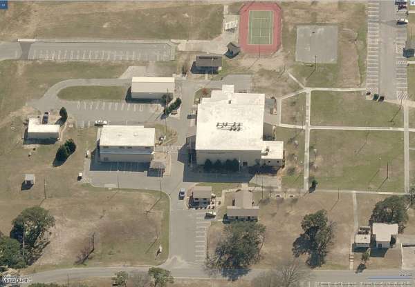
Ops & Radar - looking South
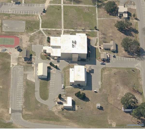
Ops & Radar - looking West
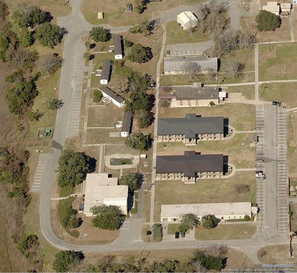
Cantonment area - looking North
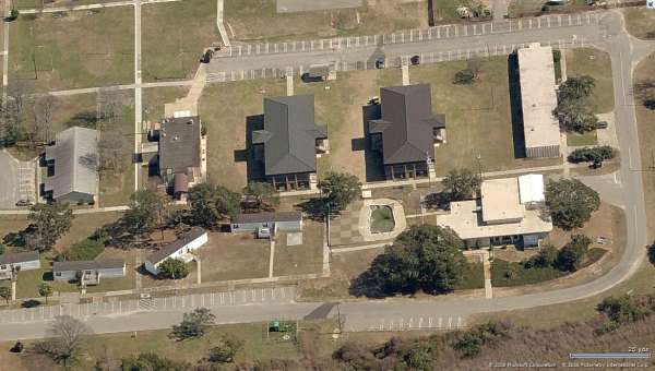
Cantonment area - looking East
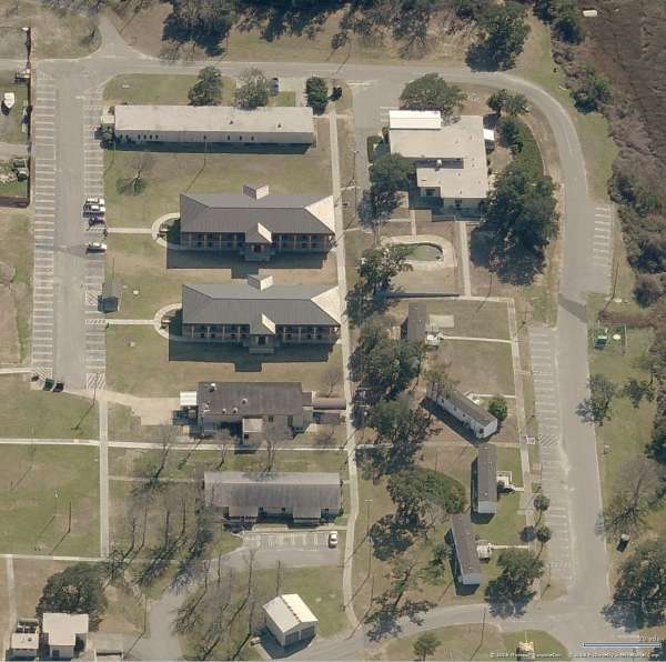
Cantonment area - looking South
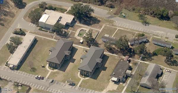
Cantonment area - looking West
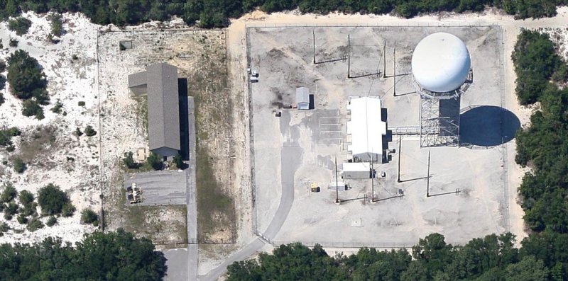
GATR site & ARSR-4 - looking North
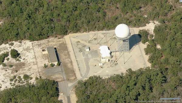
GATR site & ARSR-4 - looking North
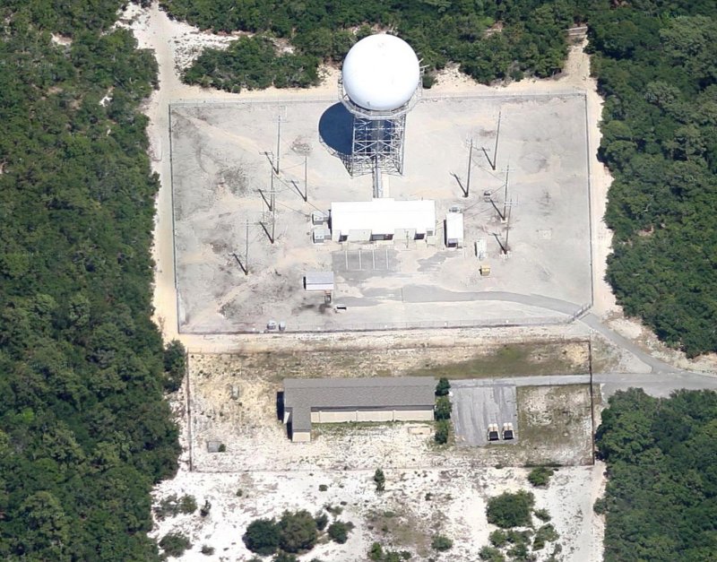
GATR site & ARSR-4 - looking East
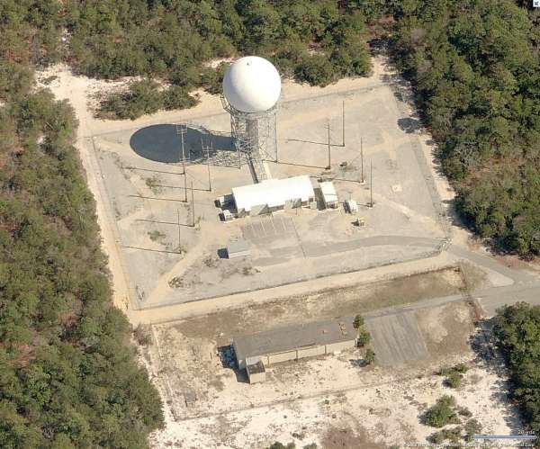
GATR site & ARSR-4 - looking East
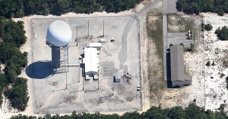
GATR site & ARSR-4 - looking South
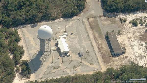
GATR site & ARSR-4 - looking South
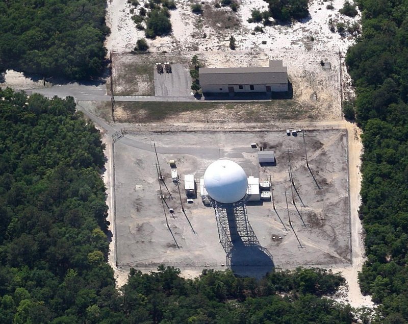
GATR site & ARSR-4 - looking West
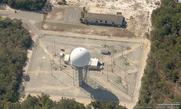
GATR site & ARSR-4 - looking West
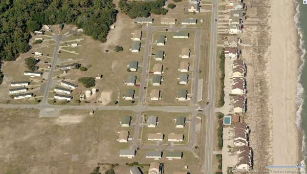
Housing area - looking North
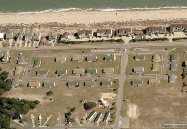
Housing area - looking East
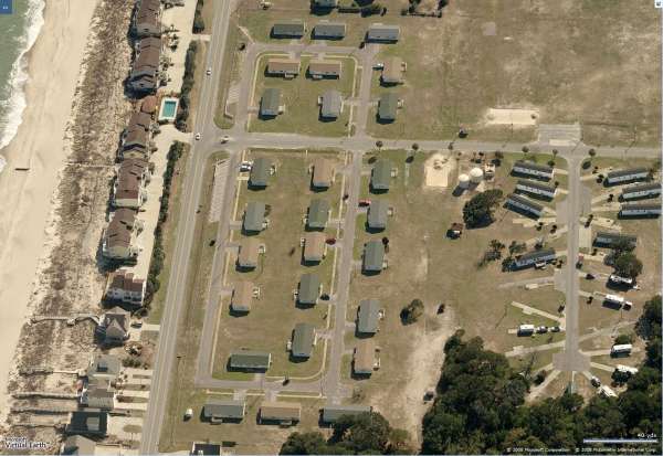
Housing area - looking South
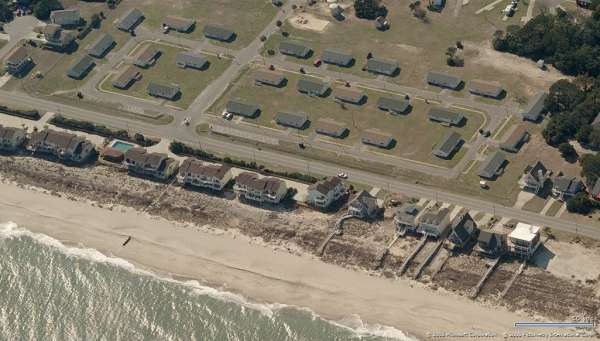
Housing area - looking West
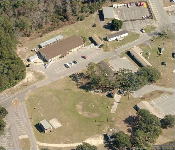
Commissary, Bowling lanes, Ballfield - looking East
----------------------------------------------------------------------------------------------------------------------------------------------------------------
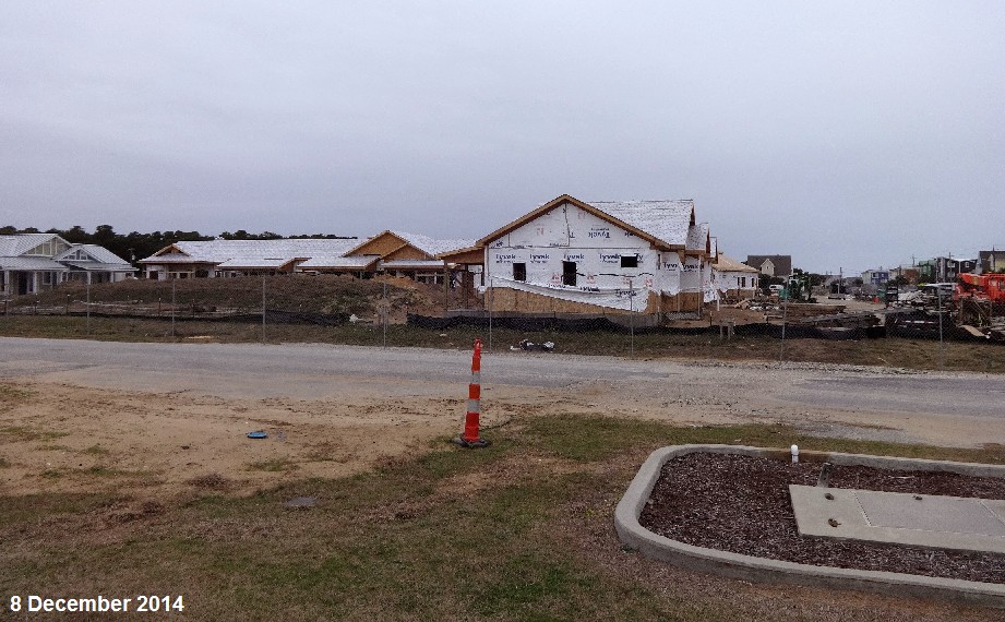
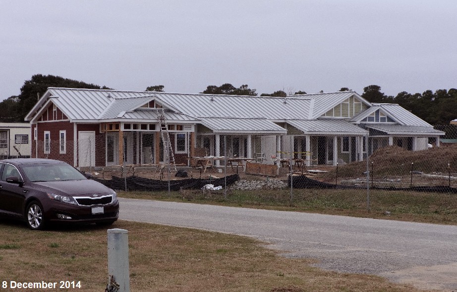
The following four photos were taken on 8 December 2014 by Mike Manley (mikeandfelecia@cox.net), and show new construction in the old family housing area.
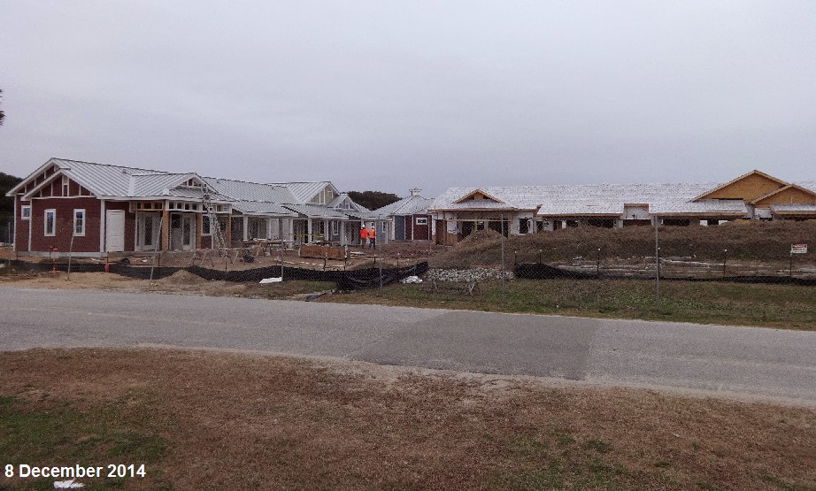
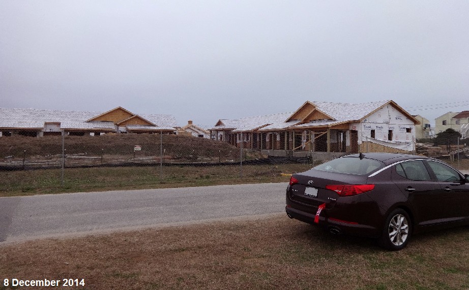
.
-----------------------------------------------------------------------------------------------------------------------------------------------------------------------
For a related news article, see http://www.starnewsonline.com/article/20141111/ARTICLES/141119946
---------------------------------------------------------------------------------------------------------------------------------------------------------------------
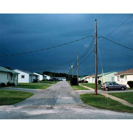
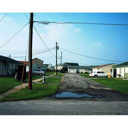
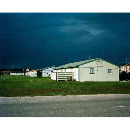
The following two photos were also taken on 8 December 2014 by Mike Manley (mikeandfelecia@cox.net), and show some of the remaining family housing units (probably destined for replacement, too (although this is unknown at this time).
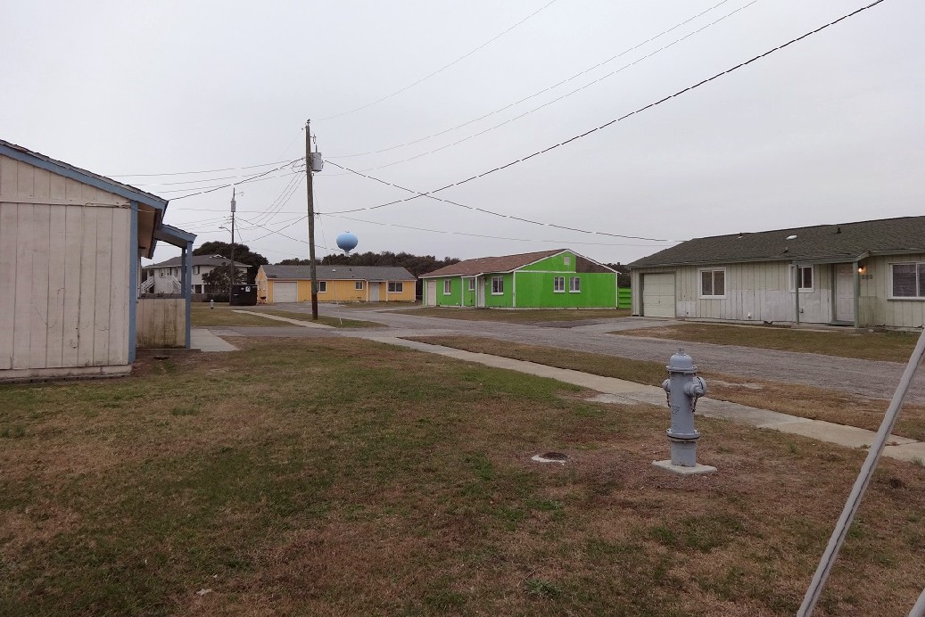
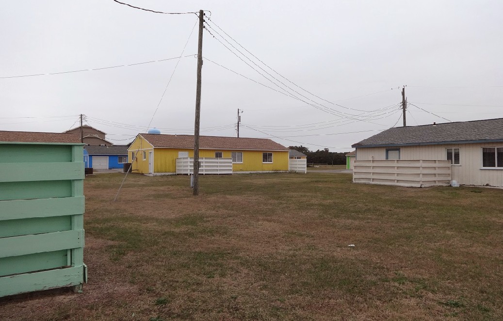
-----------------------------------------------------------------------------------------------------------------------------------------------------------------------
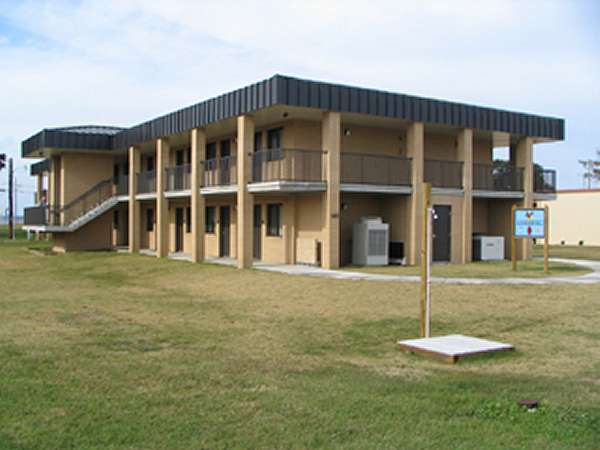
Former NCO barracks, now "Old Hickory Hall", vacation rental units.
Photo source: http://www.ftfishermilrec.com/lodge.html
Fort Fisher AFS is now a military recreational area. The housing units pictured below are all vacation rental units.
Photo source: http://www.alisonvogtcartwright.com/fortfisher.html
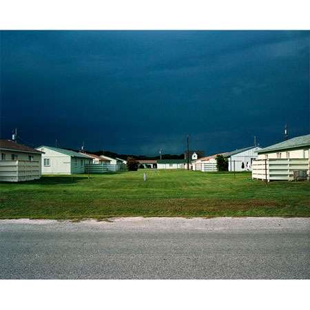
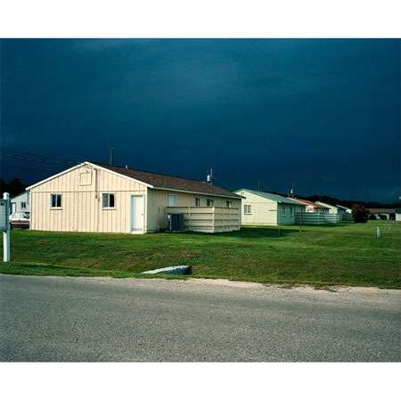
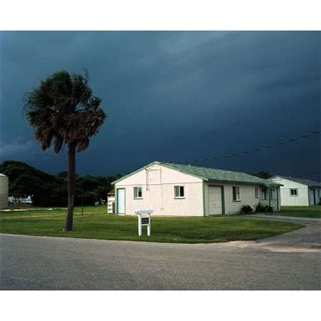
June, 2000
contributed by Bob Godsey
The following three photos document the demolition of the FPS-26/FSS-7 (Fuzzy-7)/FPS-91 tower on 26 June, 2000.
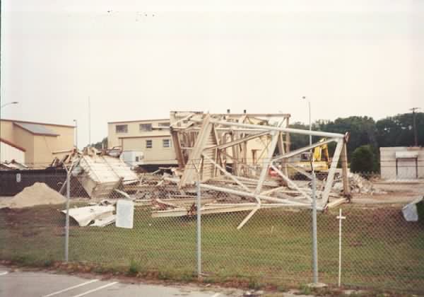
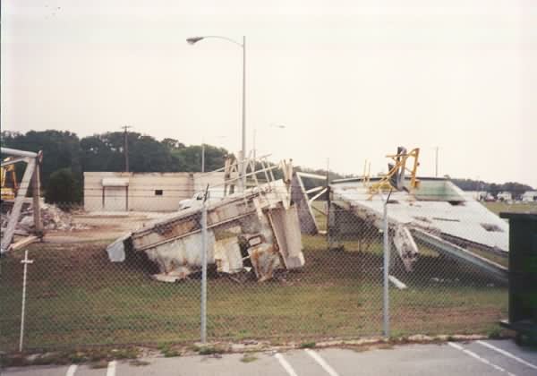
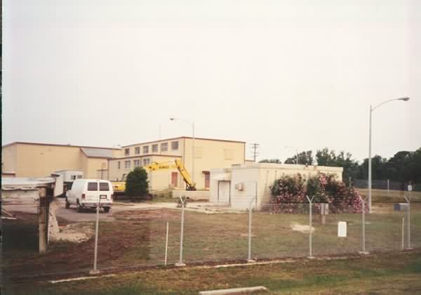
The above photo contributed by Bob Silverio
February 1999
Photos and notes by Tom Page
Email: tepage@hotmail.com
Tom writes:
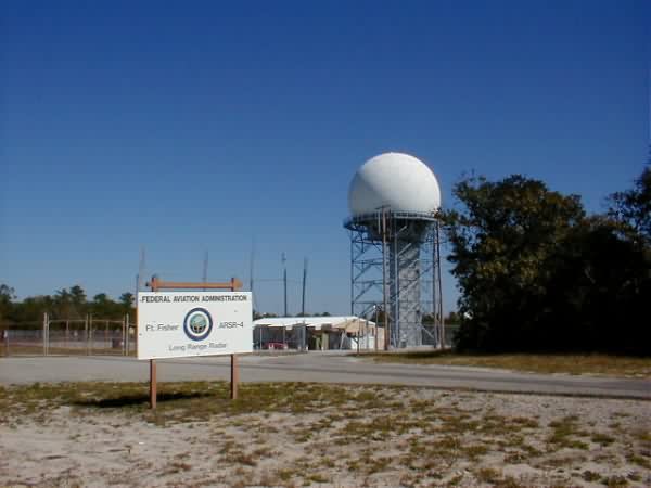
"Early the next morning (Friday now), it was on to Fort Fisher AFS, NC (via US Route 17 north to Wilmington, NC, then south on US Route 421 to Kure Beach). When I arrived, I saw that the old station still looked pretty much the way it did on my last visit, which was 4 or 5 years ago. The main part of Fort Fisher AFS is still in use as a military recreation facility (under the command of Seymore-Johnson AFB, NC). The National Guard uses some of the buildings, notably the old LRR Operations blockhouse; they have a small museum on site now, too. The one remaining radar tower was still there. It most recently housed the AN/FPS-91A search radar, which replaced the AN/FPS-107 search radar for the JSS program. Previously, that tower housed the AN/FSS-7 SLBM radar (operated by Det 5, 14th MWS), and, before that, the AN/FPS-26A heightfinder (operated by the 701st Radar Sq.). The old AN/FPS-107 and AN/MPS-14 (AN/FPS-116) towers had been removed several years ago. The AN/FPS-107 tower had briefly housed the relocated AN/FPS-116 before its removal. I was told that the AN/FPS-91A tower had recently been gutted, and was due for demolition soon. When I said I thought an ARSR-4 was now used by the FAA there (for JSS), I was informed that the FAA had built a new radar tower � on Davis Road. Davis Road (now renamed to Davis Beach Road) is where the GATR site was located (about 1 mile north of the main site). So I drove over to the old GATR site, and � sure enough � there stood the new ARSR-4 tower! That tower stands on the "east forty" of the former antenna farm, near where one of the old AN/FRT-49 antennas used to stand. The GATR building itself is fenced-off separately, and appears to be abandoned. [My new photos of Fort Fisher AFS will be forthcoming, probably tomorrow, as I have to send those from my computer at work.]"
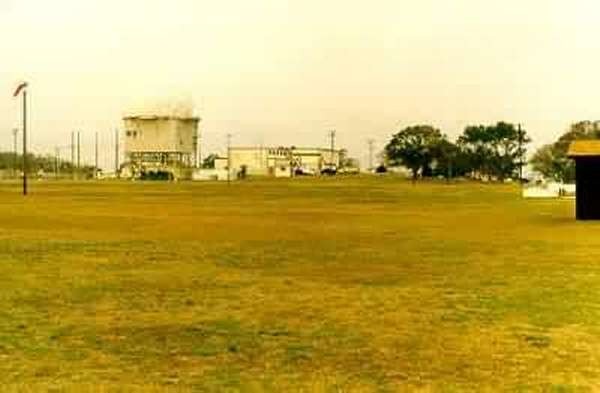
View of the AN/FPS-91A search-radar tower and the Operations area from near the site entrance off US Rte 421 (housing area). The AN/FPS-91A, installed for the JSS program and now removed, sat in the tower formerly housing the AN/FSS-7 SLBM radar, which had once been an AN/FPS-26A heightfinder radar. The AN/FPS-91A tower reportedly is now gutted and scheduled for demolition.
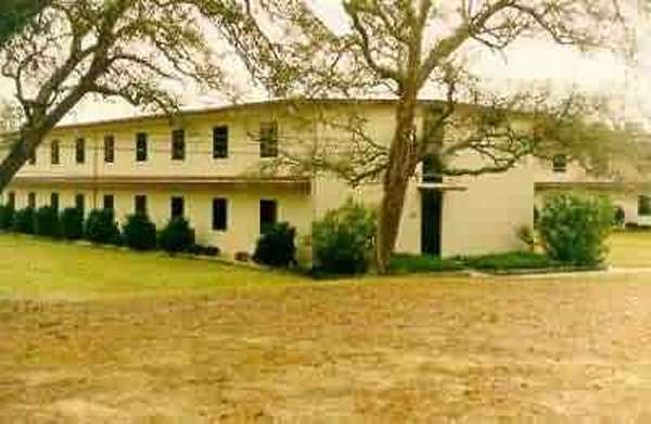
View of the Airman / NCO barracks.
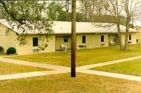
View of the BOQ (my room was the second window from the left).
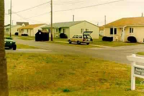
View of the family-housing area, which straddles the base entrance from US Rte 421.
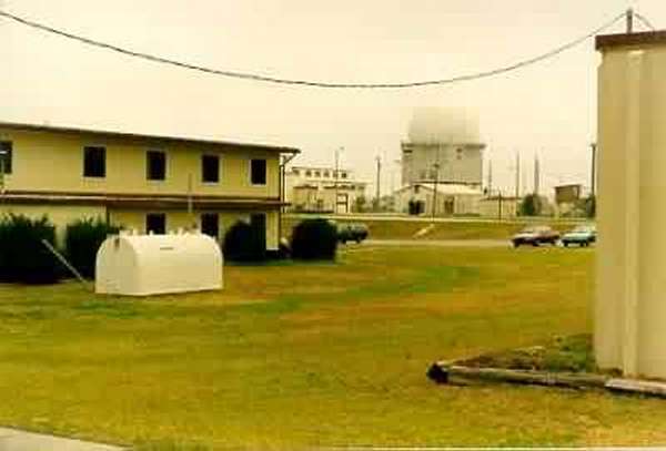
Another view of the AN/FPS-91A search-radar tower and Operations area, from the barracks area; civil-engineering building was to the extreme right.
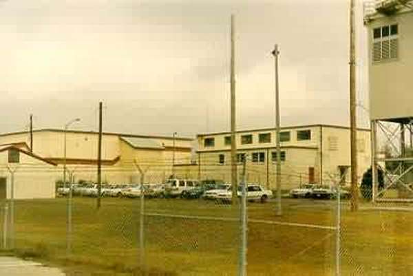
Another view of the Operations area, from the southeast side. The Materi�l Control building was the small building to the extreme left, the LRR Operations (and former BUIC-III) blockhouse was in the left-center, and the power plant building was in the right center. A corner of the AN/FPS-91A radar tower is visible on the far right.
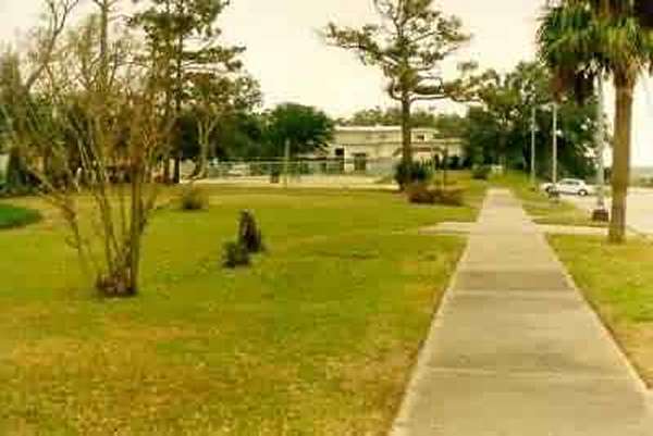
View of the cantonment area, looking south. In the foreground formerly sat the old BX, followed by the Admin/Personnel/Commander`s/medical-aid/dental building (both former wooden Army buildings, now removed). In the background is the swimming pool and the Recreation building.
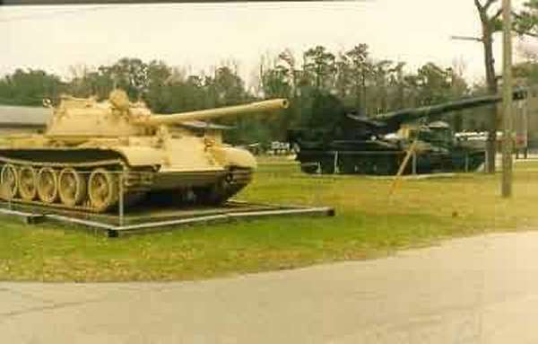
View of the new National Guard static displays in front of the newer BX building, now a National Guard museum.
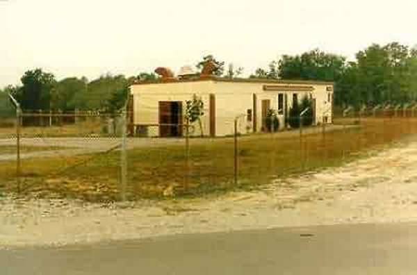
View of the GATR building, now abandoned (looking northwest). The GATR site was located about a mile north of the main site, off Davis Road (now renamed Davis Beach Road).
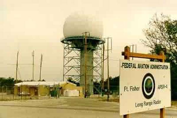
View of the new ARSR-4 radar tower, which sites inside the old GATR site antenna farm, east side.
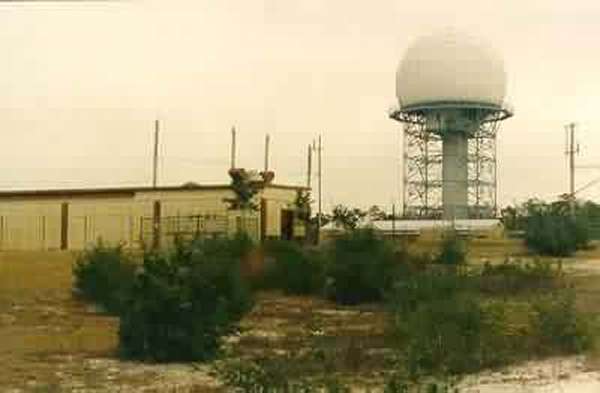
View of the new ARSR-4 radar tower with the old GATR building in the foreground.
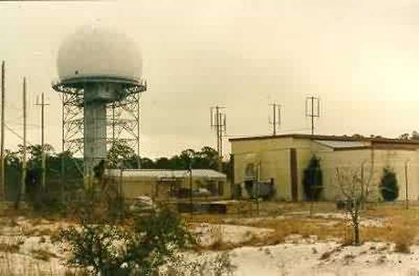
Another view of the new ARSR-4 radar tower with the old GATR building in the foreground.
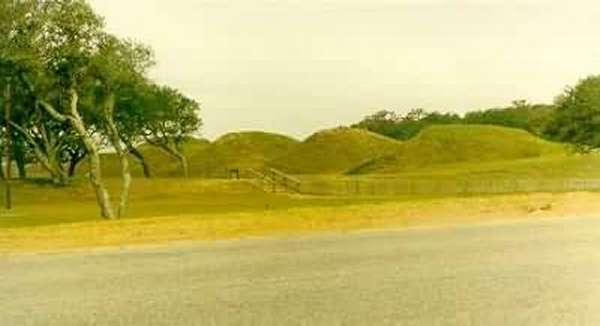
View of the Air Force station`s namesake: Civil War Fort Fisher, located about 1.5 miles south of the base (looking west-northwest from US Rte 421).


