Recent Photos of Grafton GFA, ND
-------------------------------------------------------------------------------------------------------------------------------------------------------------------------
.
The following photos were made by Tom Page on 1 August 2023
.
.
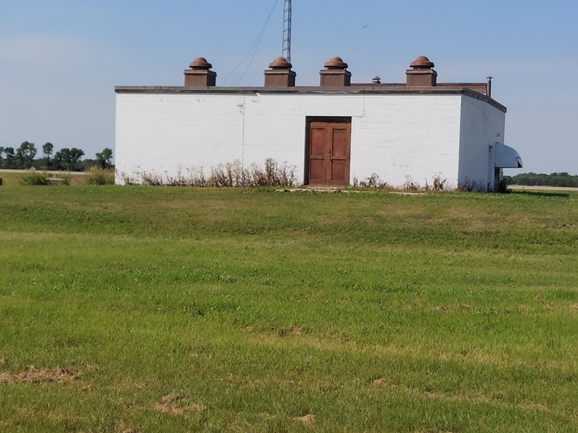
East side of the former gap-filler radar building; the radar-equipment section is on the left, and the diesel-generator section is on the right (looking west)
.
.
.
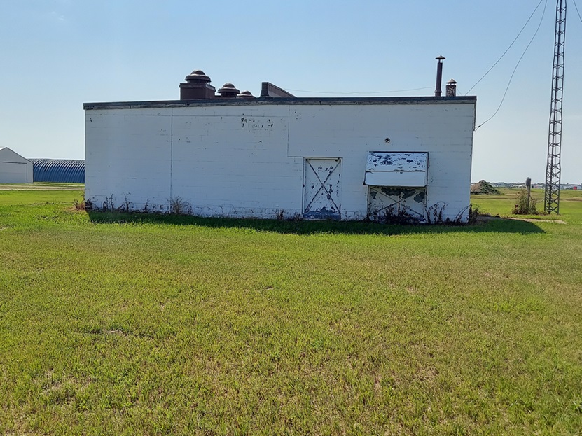
South side / radar-equipment section of the former GF radar building; the AN/FPS-14 radar tower stood at the far left. (looking north-northwest)
.
.
.
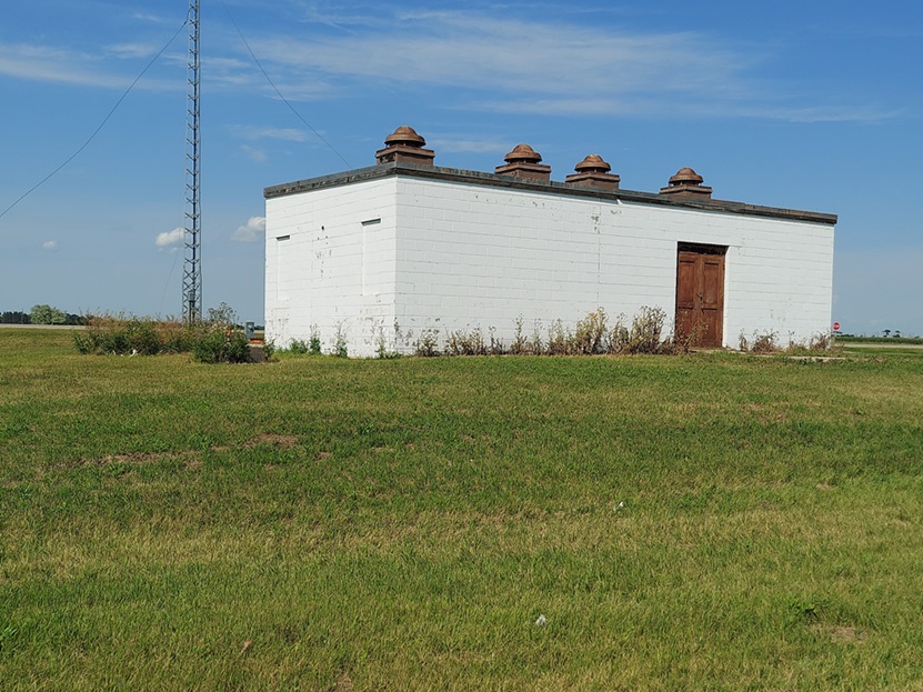
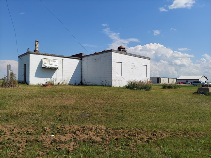
The west and south sides of the former radar building; the radar tower stood at the left. (looking north-northeast)
.
.
.
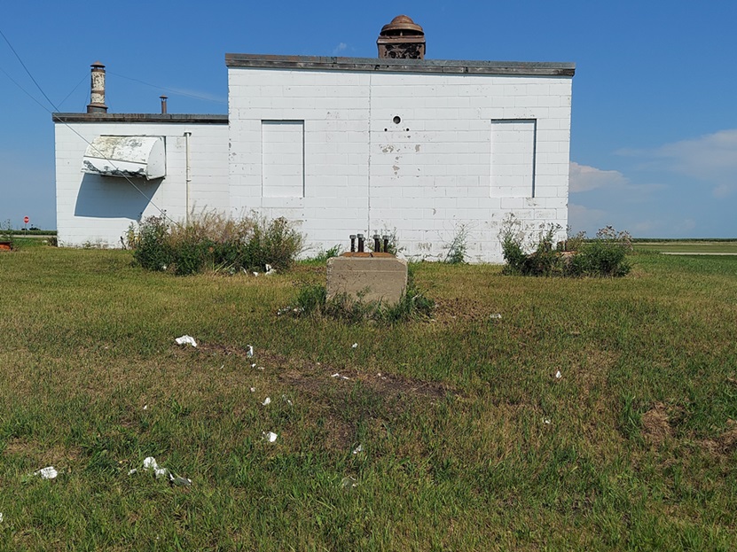
The west end of the building where the radar tower once stood; the diesel-generator section is on the left. The three radar-tower foundations/footings are seen in the forground. (looking east)
.
.
.
Inside the "L" ---- the diesel-generator section is on the left, and the radar-equipment section is on the right. The radar tower stood at the far right. (looking southeast)
.
.
.
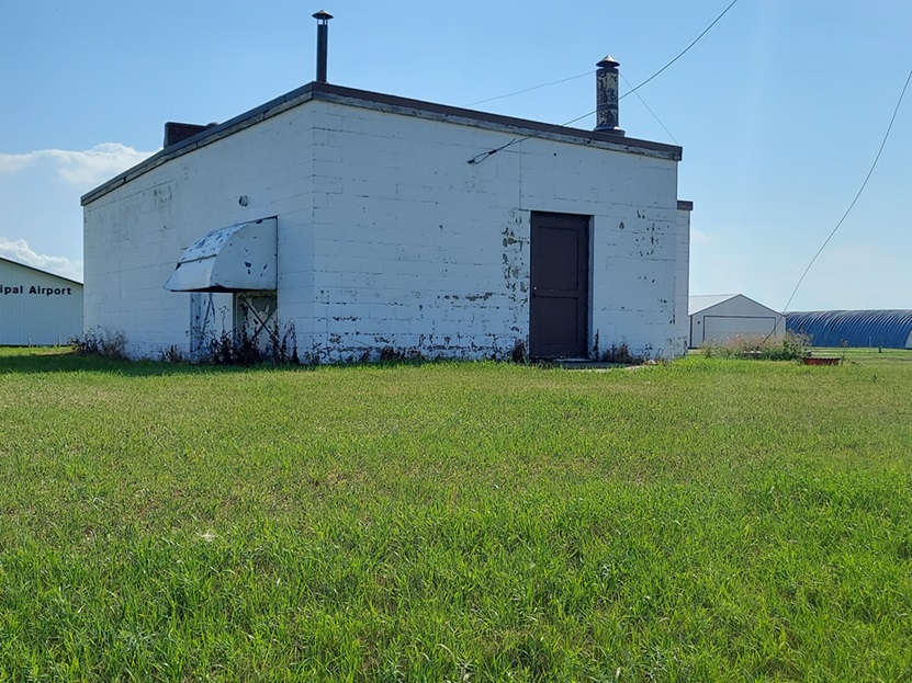
The diesel-generator section of the former radar building (looking south-southwest)
.
.
.
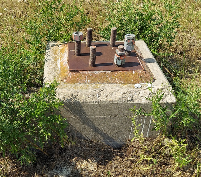
A close-up of one of the three radar-tower foundations/footings
.
.
-------------------------------------------------------------------------------------------------------------------------------------------------------------------------
.
The following 2003 photos and captions contributed by Mark Morgan, Radomes Staff and WADS Historian
.
.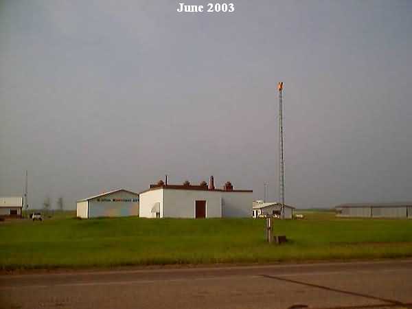
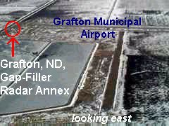
Overall view of the facility, looking south from North Dakota State Highway 17. It`s proximity to Grafton Municipal is readily apparent..
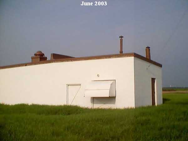
The east face of the building.
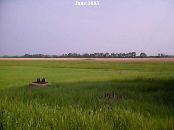
The foundations and mounting bolts for the FPS-14 tower.
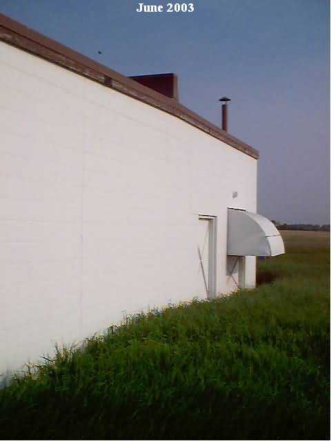
Another view of the east face.
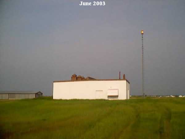
Another overall shot. The structure is in excellent condition although its use is unknown.
From the web site http://www.airnav.com/airport/KGAF
