Hillside, AZ, Gap-Filler Radar Annex (M-93B)
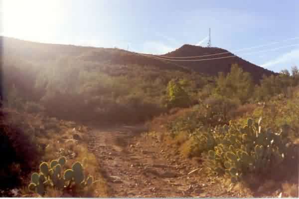
This is a general view of the large hill where the planned radar facility sat (immediately to the right of the present-day microwave tower). ADC records indicate that this site never became operational. A section of the access road is seen in the foreground - this is one of the better stretches of the road! [looking ~ west]
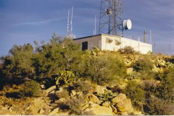
This view shows the planned gap-filler radar facility and surrounding desert flora. The diesel-generator wing extends to the right (south), and the radar-equipment section extends to the left (east). The length of the diesel-generator wing suggests it was built to accommodate four generators. [looking southeast]
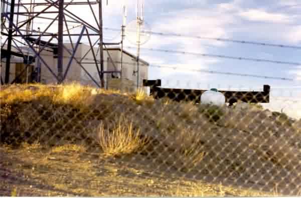
This view shows the radar-equipment section at the northeast side where the radar tower would have stood. A large, heavy-duty triangular I-beam structure sits atop the original radar-tower foundations / footings. This I-beam structure, added after the Air Force declared the site excess, reportedly was for a point-to-point microwave system that was planned for the site but was subsequently cancelled due to bankruptcy of the parent company. [looking northwest]
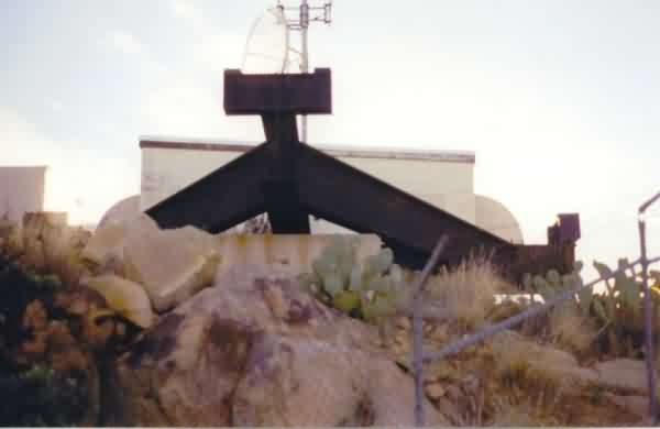
This is another view of the triangular I-beam structure that sits atop the original gap-filler radar-tower foundations / footings. [looking southwest]
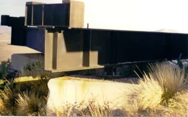
This is yet another view of the triangular I-beam structure. In this view, one can plainly see that the tower mounts on top of the I-beam structure are further apart than the original gap-filler radar-tower foundations / footings. [looking ~ east]
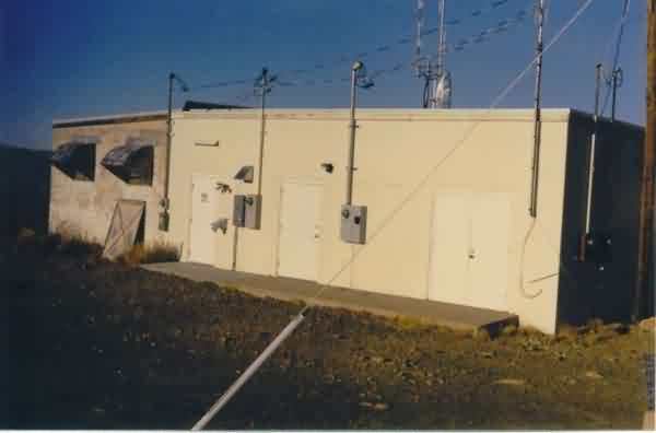
This is a close-up view of the planned gap-filler radar facility, with the diesel-generator wing extending to the right (south). [looking east-northeast]
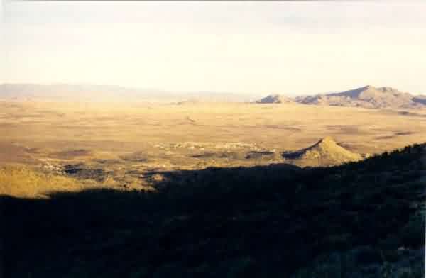
This view is from the gap-filler radar facility looking toward the town of Hillside. [looking ~ east]