Recent Photos of La Motte, IA GFA
Note: This is one of several GFA sites that have been restored and are currently used as private residences.
..............................................................................................................................................................................................................
The following photos were made by Tom Page on 29 July 2023 with the owner's permission:
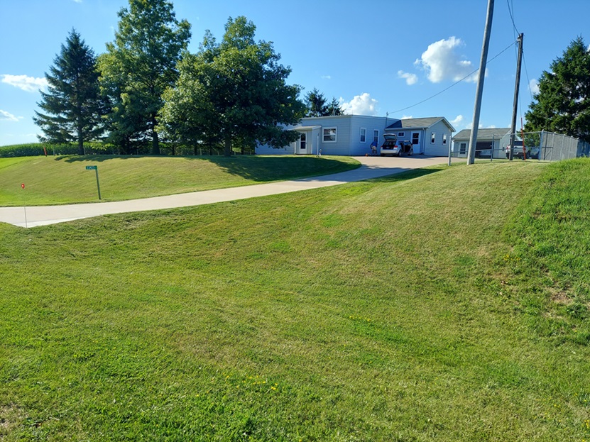
A view of the former gap-filler radar building, now private residence, as seen from the road (looking northwest)
.
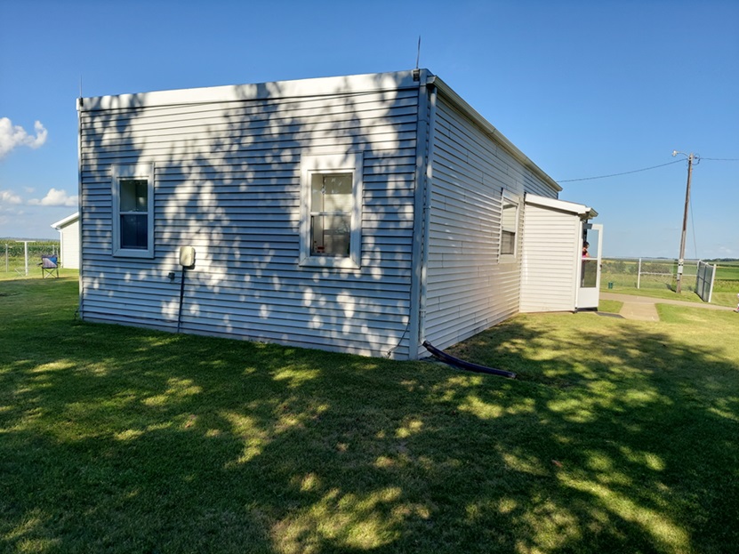
The radar-equipment end of the building where the AN/FPS-18 radar tower once stood (looking east-northeast)
.
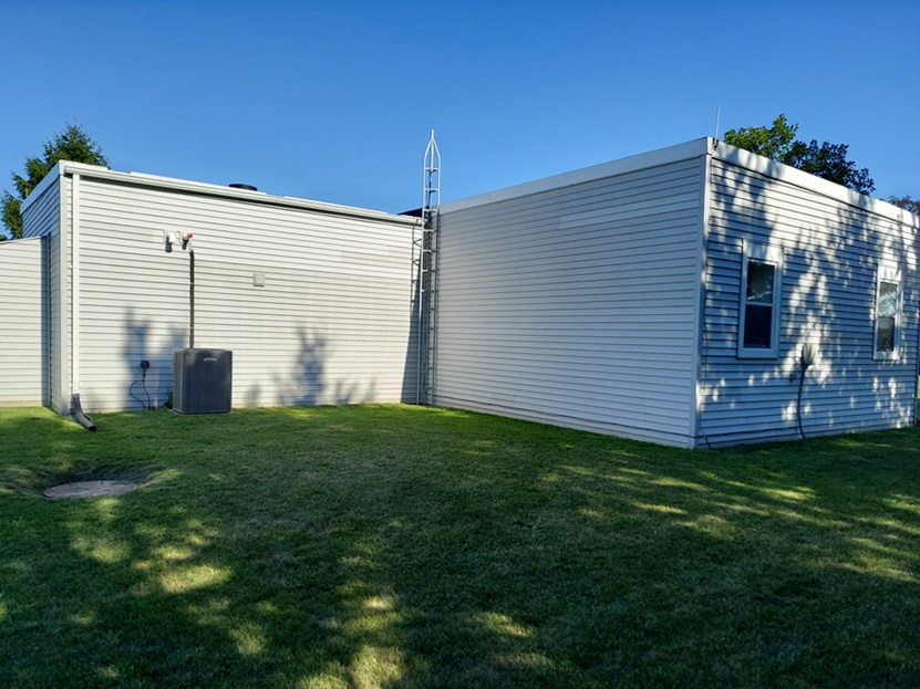
Backside of the former radar building; the diesel-generator section was on the left, and the radar-equipment section was on the right (looking southeast)
.
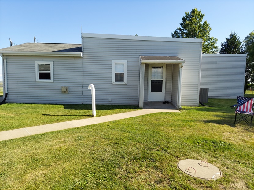
Backside of the former radar building; the diesel-generator section was in the center, the radar-equipment section was on the right, and a newer addition is on the left (looking south)
.
..............................................................................................................................................................................................................
November 2000 photos contributed by Lt. Col. Gerald L Greenwood, USAFR Ret.
Jerry writes: I have driven near La Motte, IA many times but I did not know that there was an old gap filler site near La Motte, until I saw the site listing on this web site. On a November Saturday, I decided to try to find the site. From Davenport, IA, where I live, I drove north on Rt. 61 about 75 miles to Zwingle, IA. I turned east on Jackson County Rt. D55, and drove 3 miles to La Motte. Then I turned left on N. Main St. and drove northwest 2.6 miles to the old gap filler site on the north side of the road.
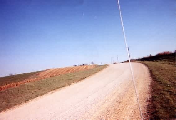
The old gap filler site is located on a small hill surrounded by farmland.
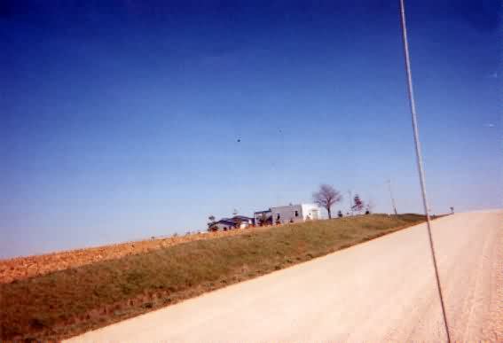
The site is on a hill that is the highest point for miles around and not near any other farm site.
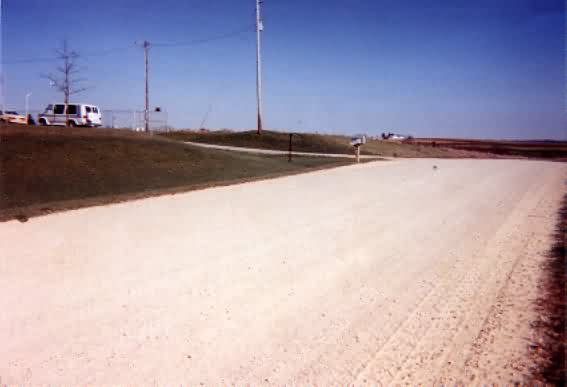
The road that runs past the site is a wide white fine rock two-lane road.
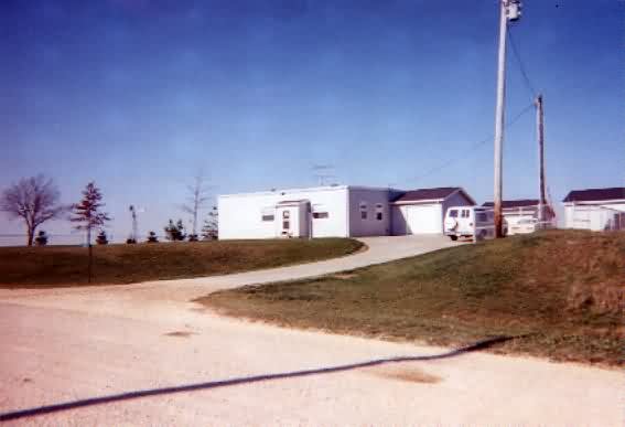
I turned in on the access road and parked my van.
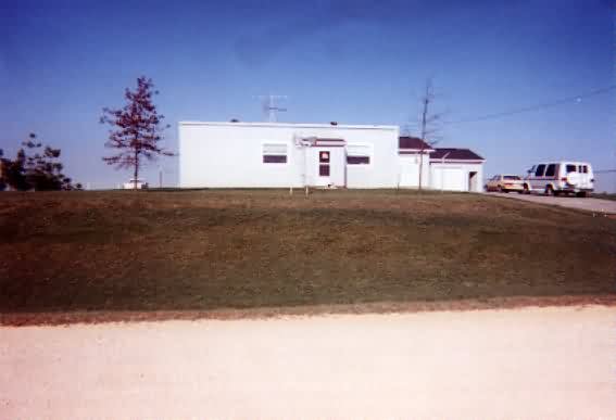
I talked to the present owner. The original building has been re-modeled and is now used as a house. The son of the owner said that the site became operational in about 1958 and was de-activated in about 1968. He has a photo of the site in 1980 when it was used as a junkyard. Later, it was cleaned up as it looks today.
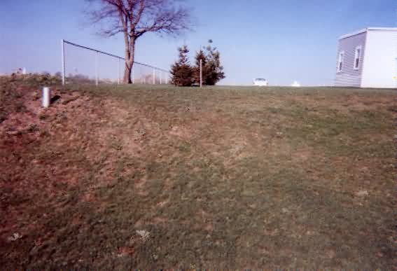
THe west side of the site contained the radar tower. The marker post below, is in the left side of the photo.
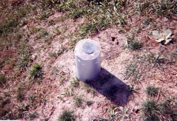
The southwest corner of the site has a marker post in the ground, indicating that it was placed there in 1958 by the Corps of Engineers.
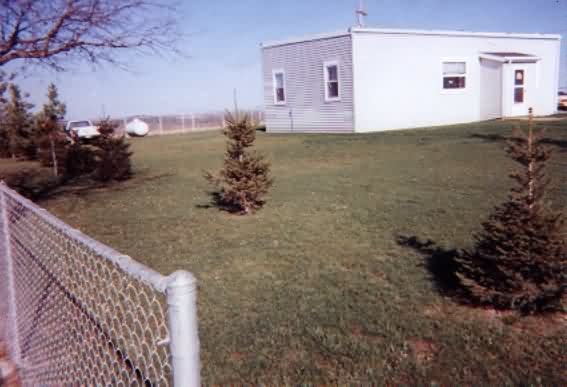
The existing fence is located in the original location of the perimeter fence around the old site.
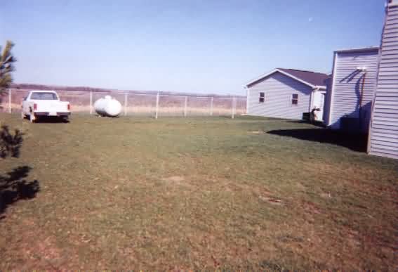
The gap filler tower concrete support pads have been removed except for the one which can be seen in the center of the photo.
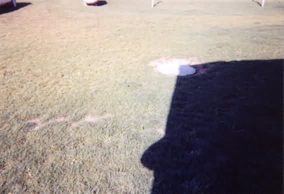
A man-hole cover near the northwest corner of the site is still bolted down, probably covering an old buried fuel or water tank.
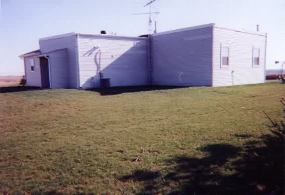
The back side of the house has an entry-way added.
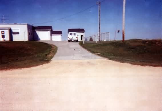
The only other buildings on the site besides the house is a garage and a storage shed near the northeast corner of the site.
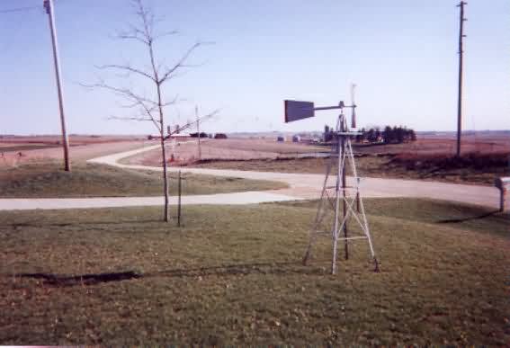
The road going east leads to the town of La Motte, 2.6 miles away.
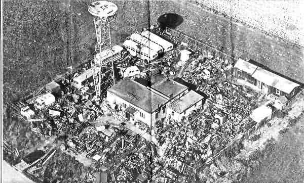
1980 photo from the document at LaMotteIAJunkyard.html
.
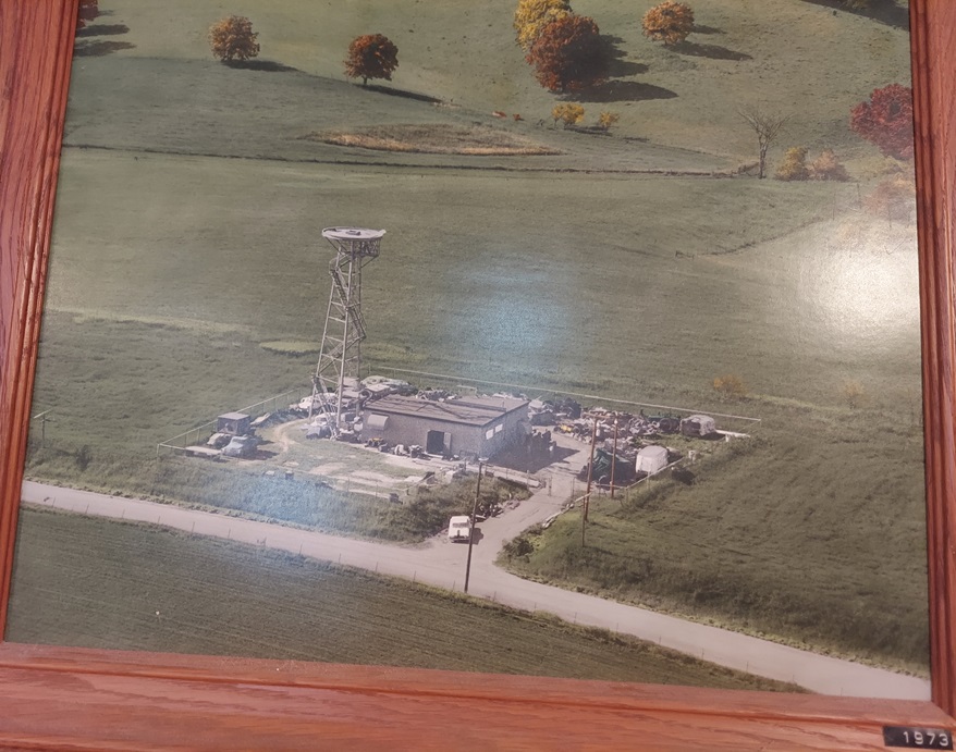
1973 aerial photo hanging on the wall of the current owner's house (which is the former gap-filler radar building)
.


