Recent Photos of Marietta AFS, GA
The first four circa-2014 aerial photos below from Bing Maps "Bird's Eye" views show that the former Air Force Operations building and the last AN/FPS-6 height-finder radar tower have now been removed.
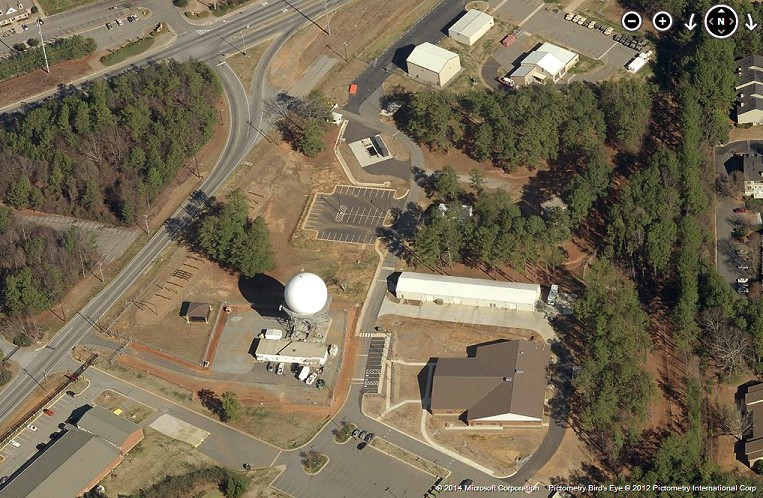
Looking North
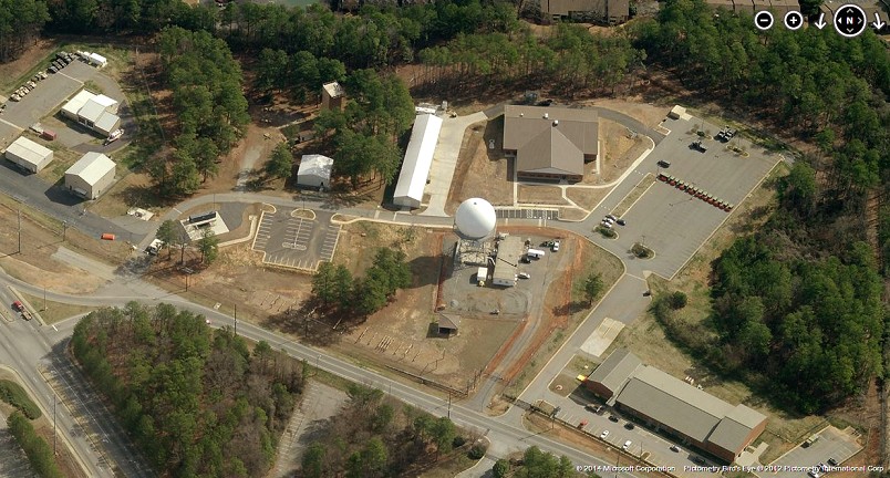
Looking East
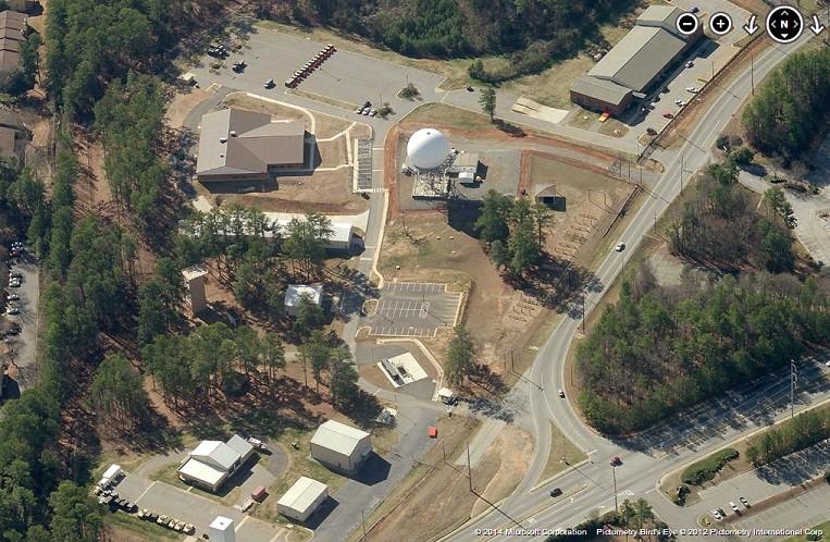
Looking South
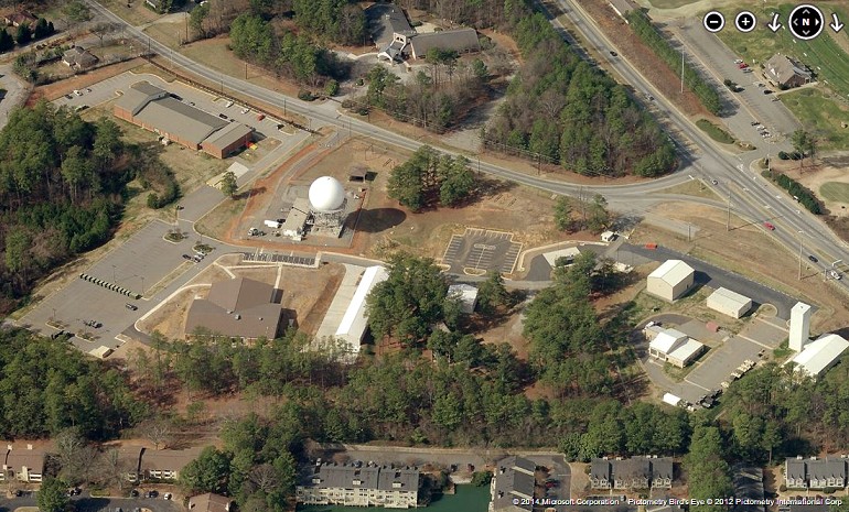
Looking West
.............................................................................................................................................................................................................
Earlier aerial photos from Bing Maps "Bird's Eye" imagery:
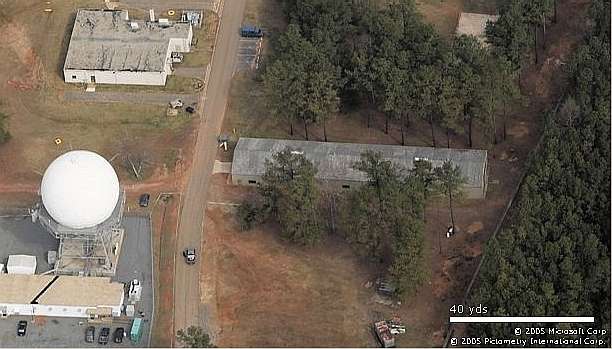
Looking North
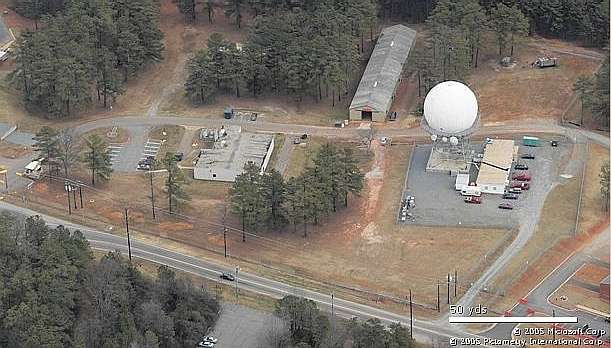
Looking East
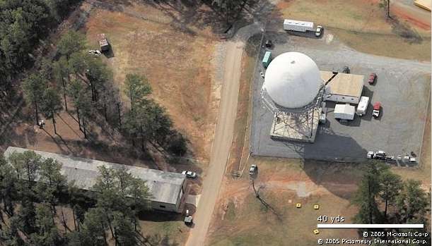
Looking South
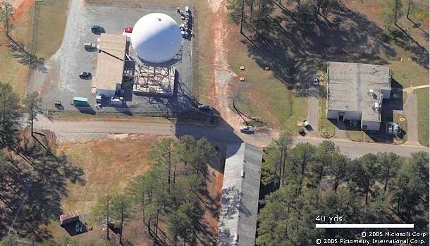
Looking West
GATR Photos
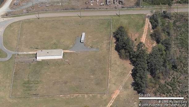
GATR Site (Looking North)
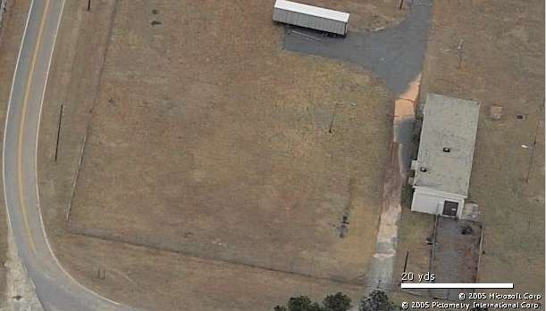
GATR Site (Looking East)
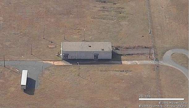
GATR Site (Looking South)
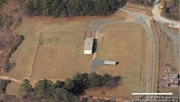
GATR Site (Looking West)
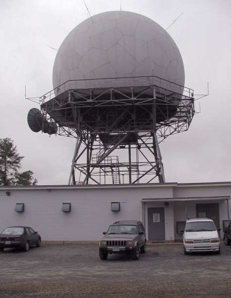
circa 2003, photo source: http://travel.webshots.com/photo/1083731427032481082VsfvDJ
The following July, 2000 photos contributed by Tom Page
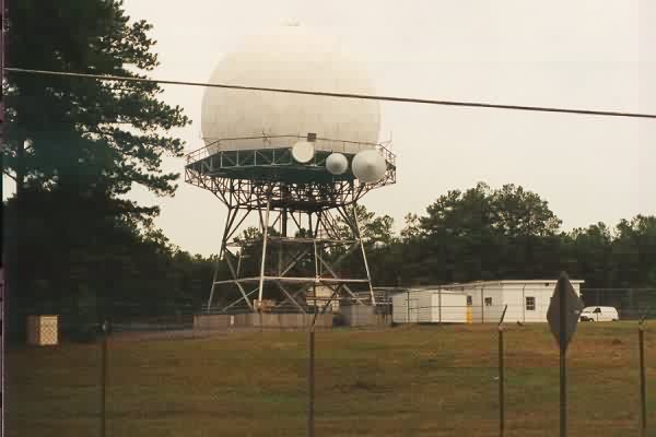
FAA ARSR-1
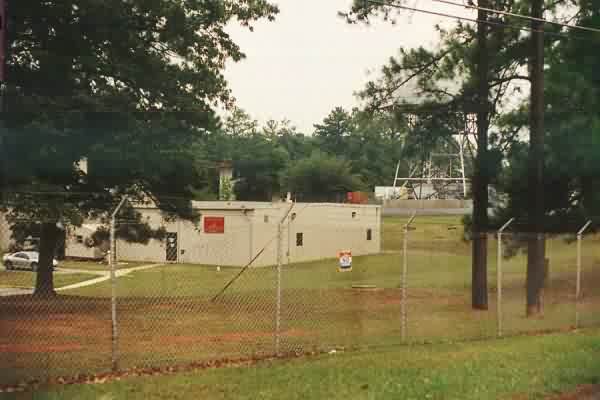
Operations building, now used by USMC. ARSR-1 in the background to the right. The tower in the background, left center, was one of the two the USAF AN/FPS-6 height-finder radar towers.
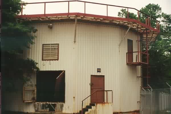
Old USAF radar tower which once housed one of the two AN/FPS-6 height-finder radars. (The other -6 tower was located near the site's entrance, and is no longer extant.)
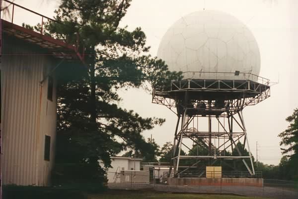
FAA ARSR-1, looking north. One Air Force AN/FPS-6 height-finder radar tower on the far left (foreground).
January 2000 photos and notes by Mike LaRoche
I was in Marietta month or so ago on business and while I didn`t have time to get permision to go inside I was able to snap a few pictures of the former Marietta AFS from outside the fence. Hope to get some better ones sometime in the future.
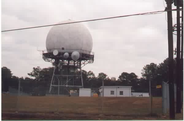
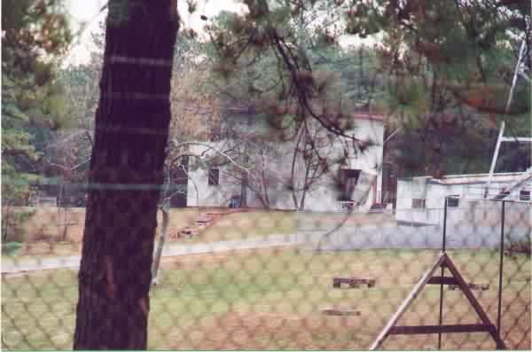
The first is of the ARSR1-C with what appears to be a different radome than the ARSR1-F we had a Richmond AFS. The second is of the abandoned tower that sits just past the ARSR; I had written at one time that I thought that this was an AN/FPS-26 tower but I'm not so sure now, as it looks more like a search radar tower. [Editor's Note: We now know that the arctic-style radar tower in question once housed an AN/FPS-6 height-finder radar, one of two.]
