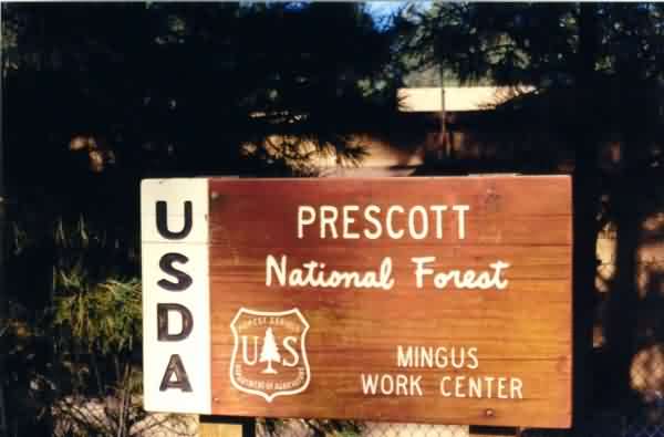
The sign by the road directly in front of the former gap-filler radar facility.
The sign by the road directly in front of the former gap-filler radar facility.
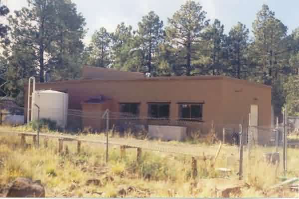
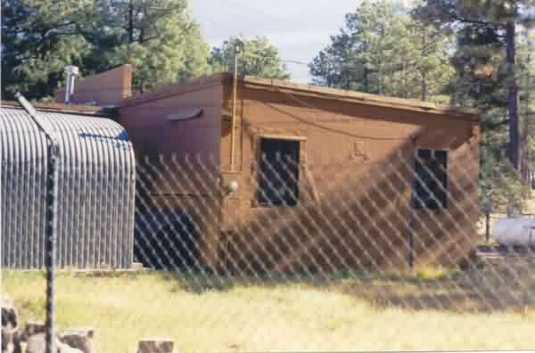
This view shows the former gap-filler radar facility and surrounding alpine forest. The diesel-generator wing extends to the right (north), and the radar-equipment section extends to the left (west). The length of the diesel-generator wing suggests it was built to accommodate four generators. [looking northwest]
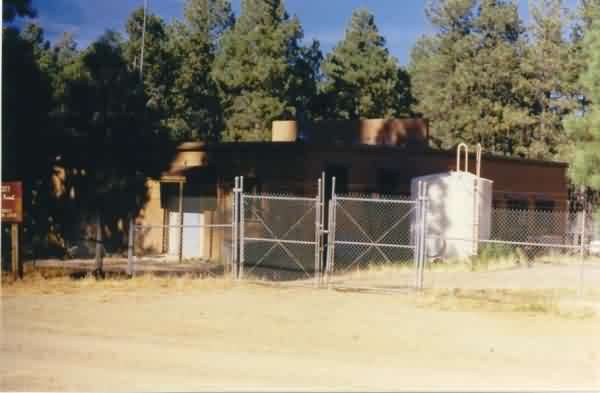
This view shows the east side of the gap-filler annex facility, with the diesel-generator wing in the foreground. [looking west-southwest]
This view shows the west end of the radar-equipment section where the radar tower used to stand. None of the three tower foundations / footings were visible. [looking east-southeast]
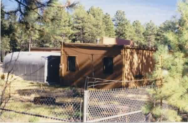
A final view of the west end of the old GFA facility where the radar tower used to stand. [looking east-northeast]