Recent Photos of Moyie Springs, ID
The following photos were made by Tom Page on 19 June 2018:
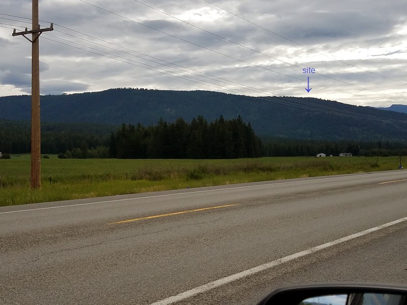
This view was made from U.S. Route 2 eastbound. The arrow shows the approximate location of the former radar site. From U.S. Route 2, the road that leads to the gap-filler radar site is Idaho State Road 34. (Looking east-northeast)
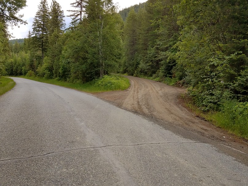
The road to the gap-filler radar site is NFS Road 2538, a hard-packed dirt road that branches off Idaho State Road 34. This dirt road is well-maintained, and is used frequently by logging trucks. (looking northeast)
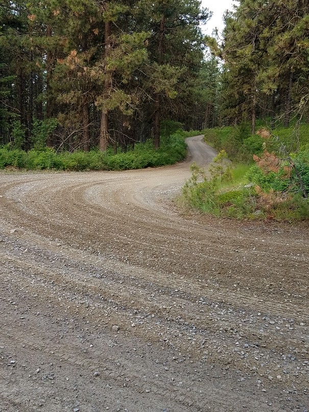
NFS Road 2538 next to the gap-filler radar site, looking downhill (looking west)
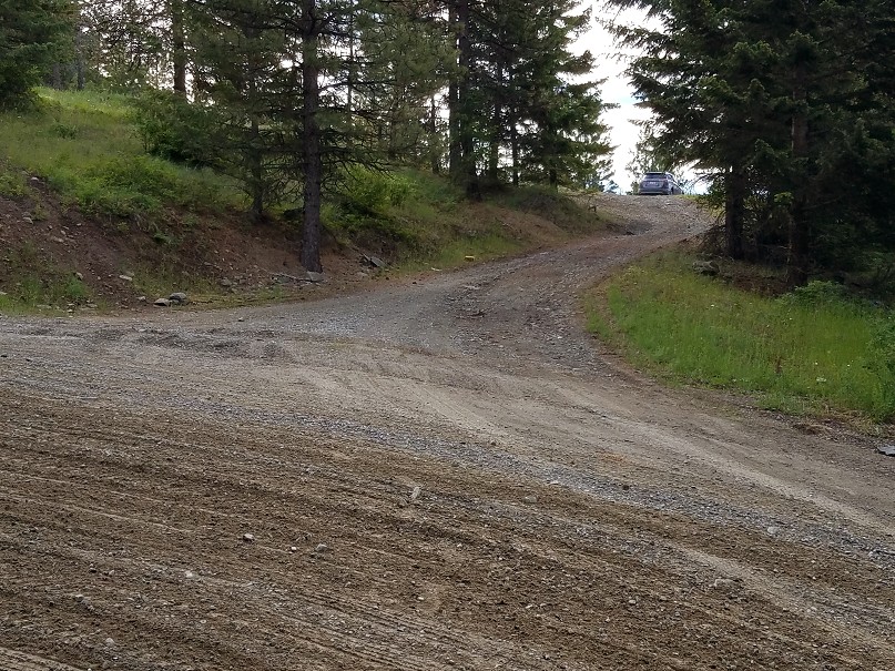
This is the turnoff and the access road to the radar site; my rental car is parked at the site. The radar building stood off to the left. (looking southeast)
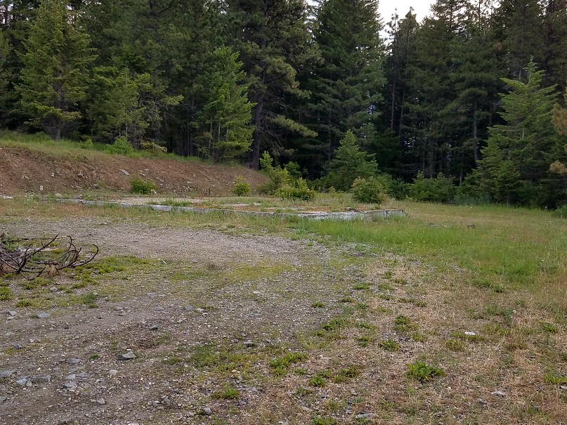
Nothing remains now except this concrete slab for the building, and a pile of dirt covering the radar-tower foundations at the east end. (looking northeast)
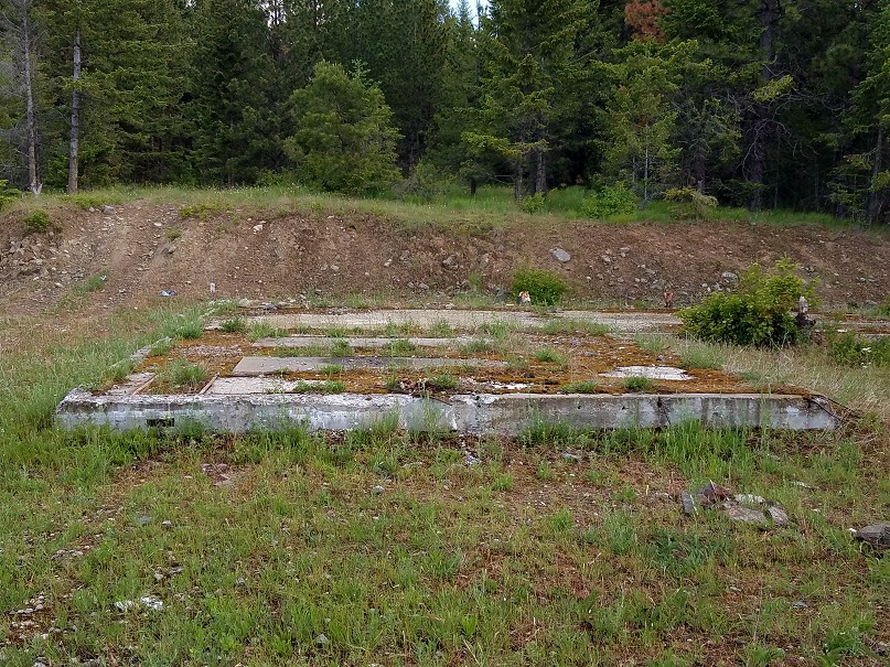
Another view of the concrete slab for the radar building; this was the diesel-generator section. (looking north)
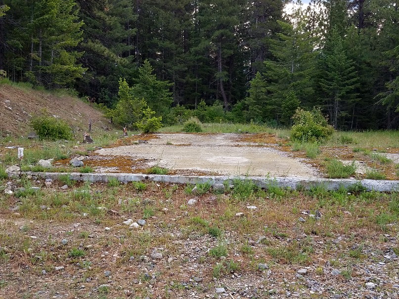
Another view of the concrete slab for the building; this was the radar-equipment section. The radar tower stood at the far end. (looking east)
.
.
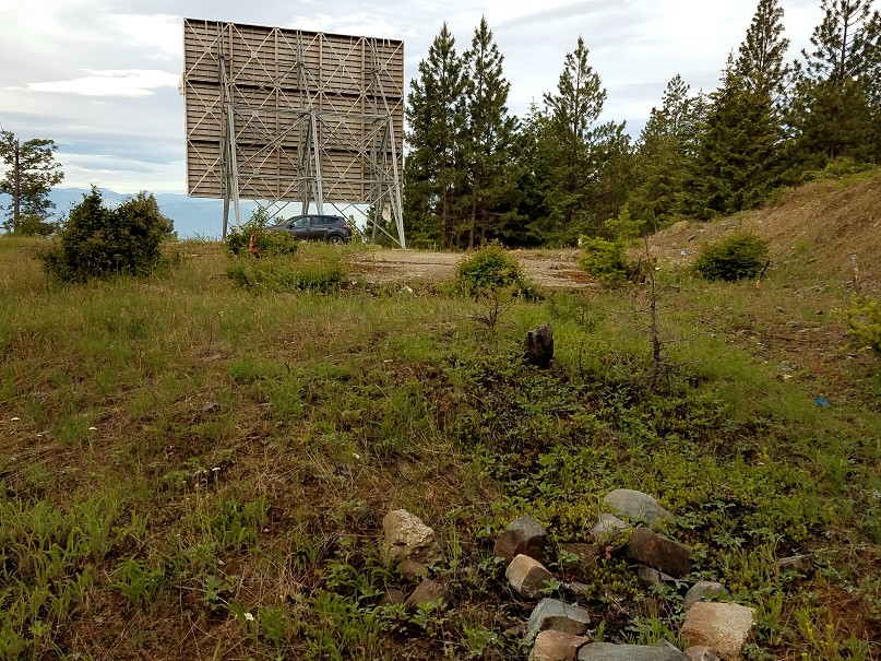
Another view of the concrete slab for the radar building; not sure what the structure ahead was for (maybe a TV signal reflector?) The pile of dirt in the foreground covers the radar-tower foundations. (looking west)
.
.
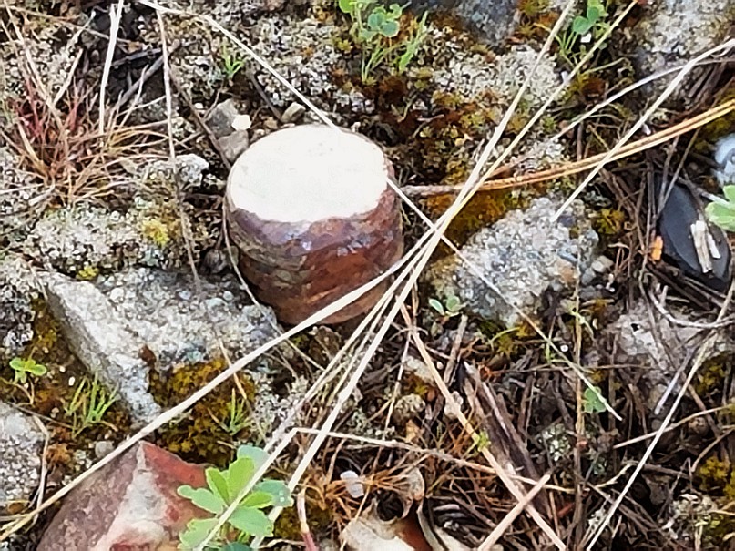
Only this one bolt was observed protruding from the pile of dirt covering the radar-tower foundations.
.
.
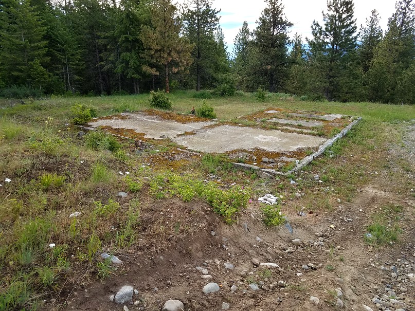
Another view of the concrete slab for the radar building, viewed from the hillside (looking southeast)
.
.
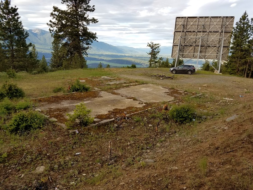
A final view of the concrete slab for the radar building, viewed from the hillside (looking)
.
.
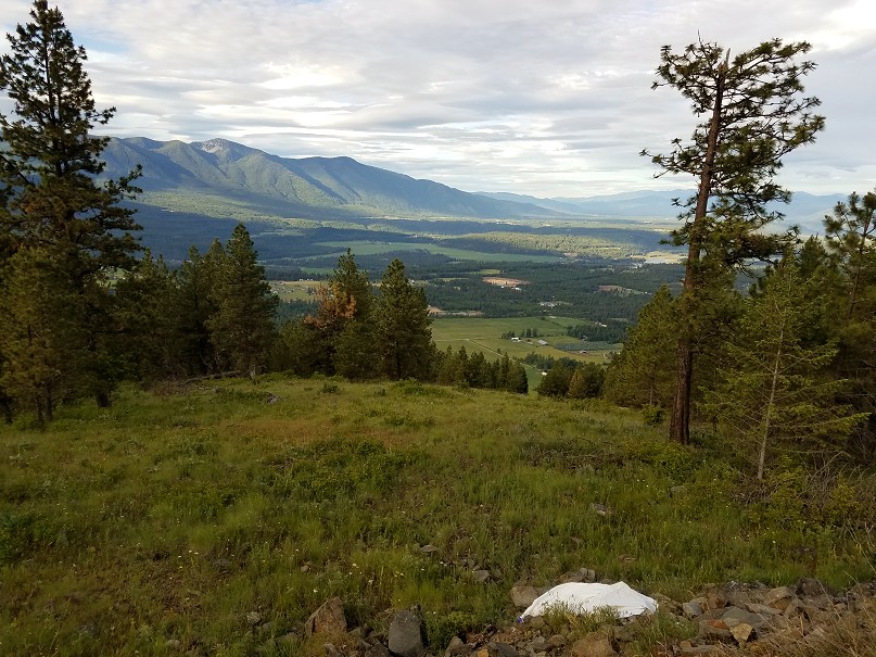
A view of the valley below, looking in the general direction of Bonner's Ferry, ID (looking southwest)
.


