Recent Photos of Richards-Gebaur AFB, MO
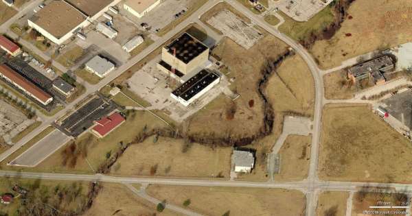
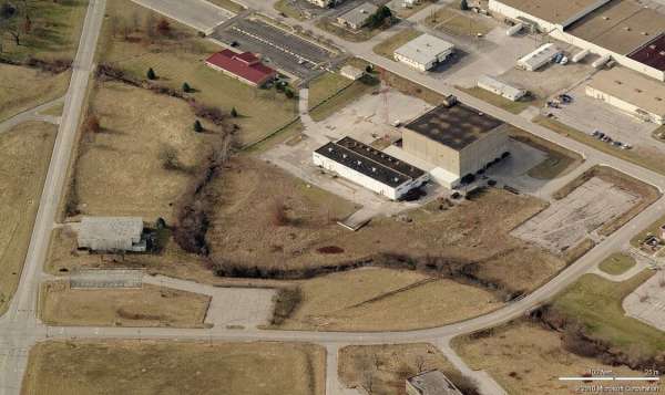
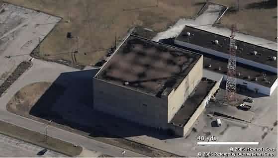
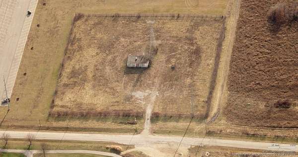
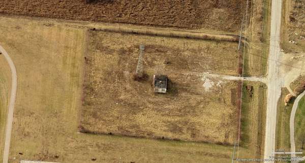
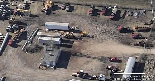
SAGE DC & ADCC 2010 image looking North
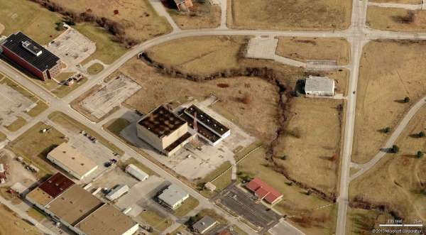
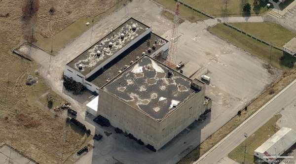
SAGE DC & ADCC 2010 image looking East
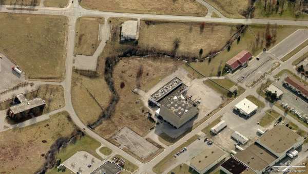
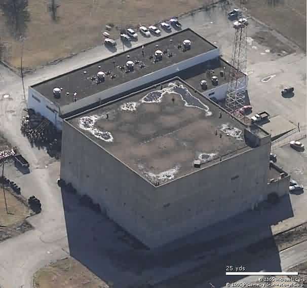
SAGE DC & ADCC 2010 image looking South
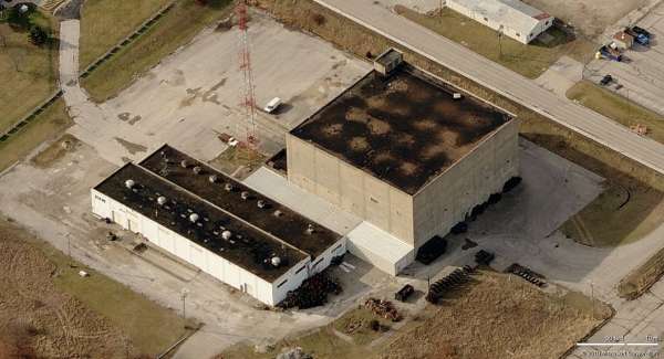
SAGE DC & ADCC 2010 image looking West
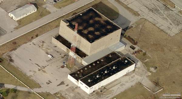
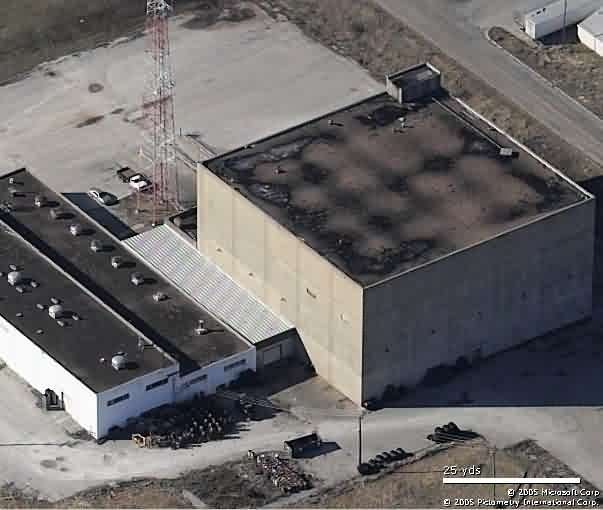
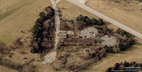
SAGE DC 2010 image looking North
SAGE DC - Looking North
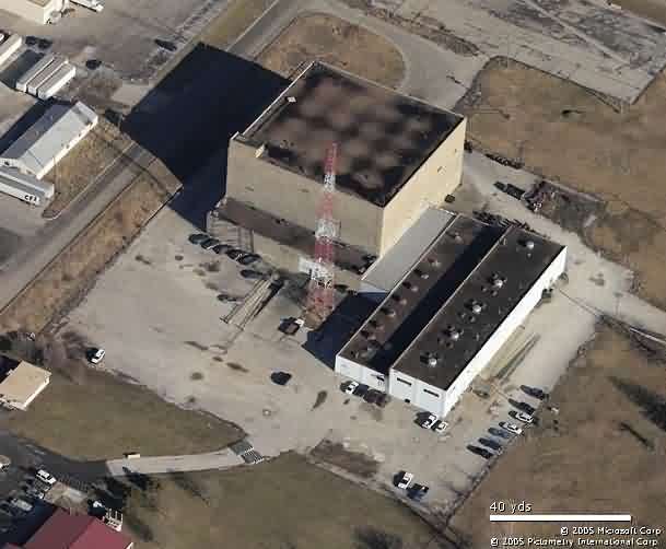
SAGE DC 2010 image looking East
SAGE DC - Looking East
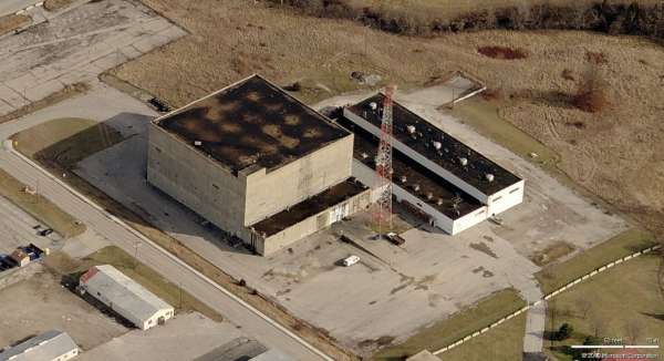
SAGE DC 2010 image looking South
SAGE DC - Looking South
SAGE DC 2010 image looking West
SAGE DC - Looking West
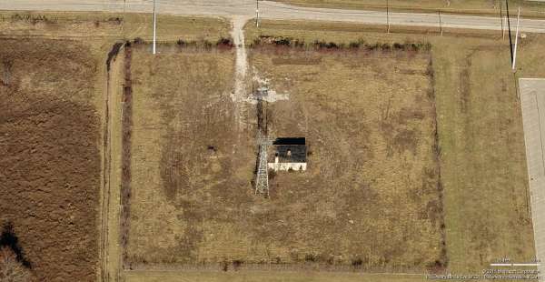
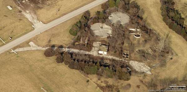
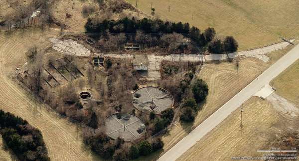
GATR TX Site (2011) Looking North
GATR TX Site (2005) Looking North
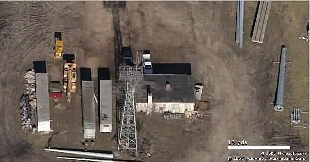
GATR TX Site (2011) Looking East
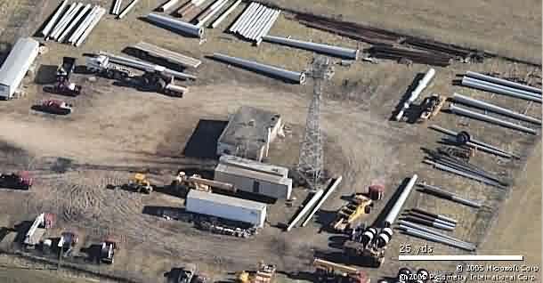
GATR TX Site (2005) Looking East
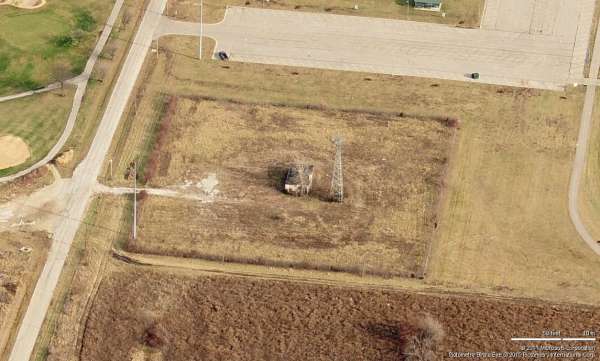
GATR TX Site (2011) Looking South
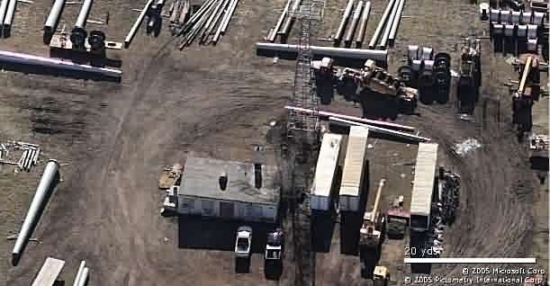
GATR TX Site (2005) Looking South
GATR TX Site (2011) Looking West
GATR TX Site (2005) Looking West
GATR RX Site (2011) Looking North
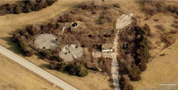
GATR RX Site (2011) Looking East
GATR RX Site (2011) Looking South
GATR RX Site (2011) Looking West
May, 2003 photos by Tom Page
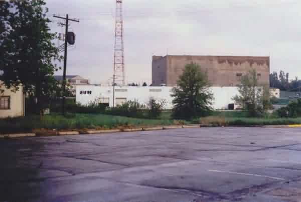
This photo shows the old SAGE Direction Center blockhouse as viewed from the parking area in front of (east of) the older manual AC&W Ops building. [looking northwest]
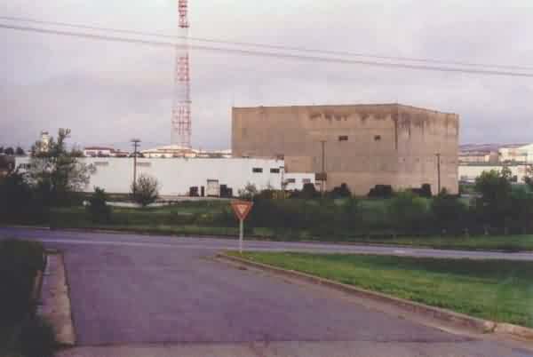
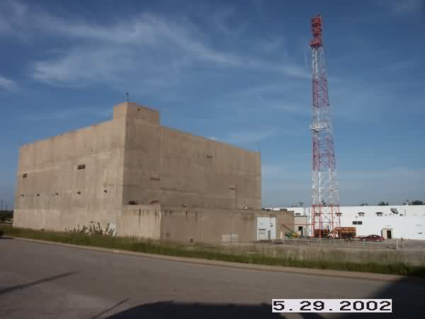
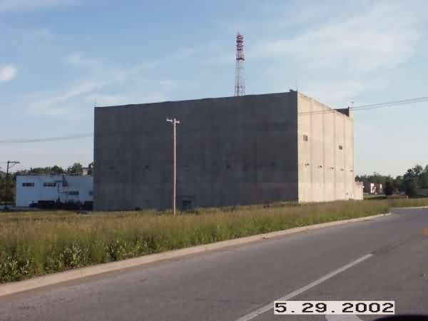
This is a view of the SAGE DC building from across the road to the east. [looking west]
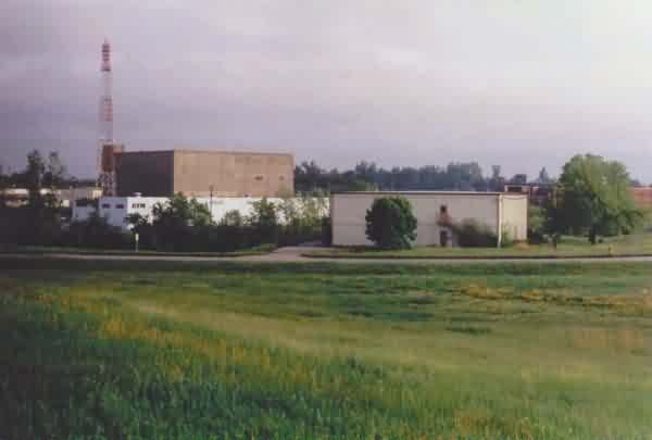
This photo shows both the older air-defense sector manual Ops building on the right and the SAGE Direction Center blockhouse in the distance to the left. [looking north]
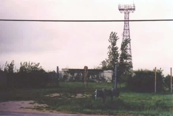
This final photo shows what we believe to be the GATR site for SAGE operations at Richards-Gebaur AFB. This building, located on the far south part of the former base, was probably originally the transmitter facility for the Ground/Air/Ground radio pair, then converted to a GATR facility with the addition of TDDL. [A similar building (not photographed), probably the receiver radio facility, was observed north of the SAGE DC blockhouse, heavily overgrown with foliage.] After SAGE operations ceased here, the GATR site was designated as site R-8. [looking south]
2002 Photos contributed by Tim Tyler
What appears to be the old manual
AC&W control center is seen on the hill immediately to the left of the SAGE
DC blockhouse and above the power plant (the alignment agrees with the
aerial images).