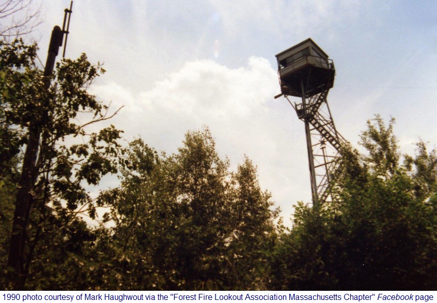
Westboro, MA, Gap-Filler Radar Annex (P-10A / Z-10A)
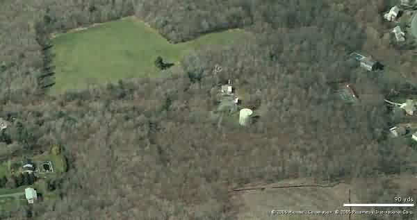
Looking North
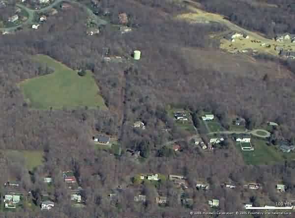
Looking East
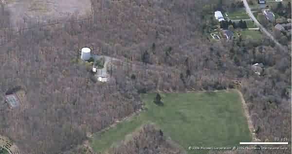
Looking South
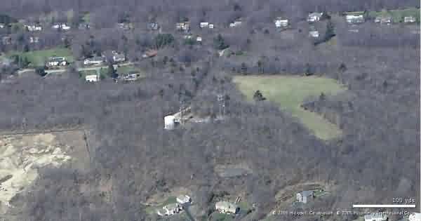
Looking West
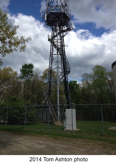
source: http://nhlr.org/lookouts/us/ma/westborough-fire-tower/
.
..............................................................................................................................................................................................................
August 2001 photos and notes by Tom Page
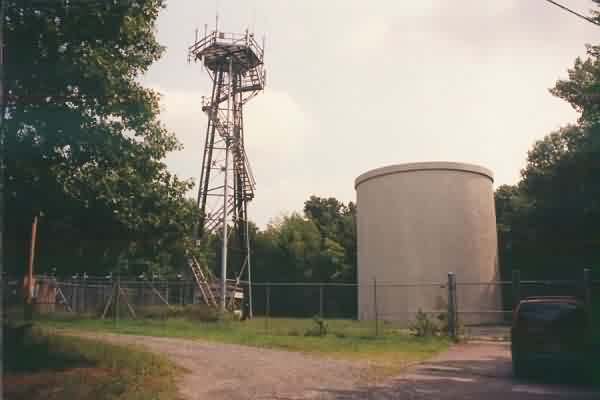
This former gap-filler radar site is located atop Fay Mountain (a large hill really) just south of Westborough. Only the radar tower now remains, used to support a number of commercial radio antennas. The chain-link fence lacks rust, so it appears to be much newer than the radar facility. [looking east, using a 28-mm wide-angle lens]
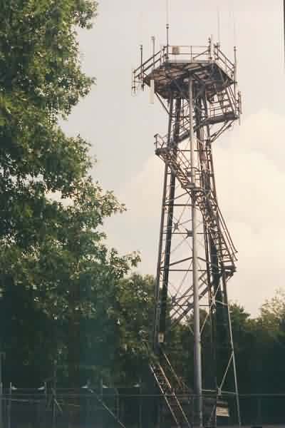
A close-up of the radar tower itself. [looking east]
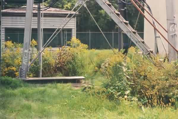
The base of the radar tower, showing one foundation / footing. The cabin of a former fire-lookout tower sits on the ground next to the radar tower. The radar tower, after deactivation, hosted this fire lookout (reportedly, from circa 1970 until 1982). [looking east]
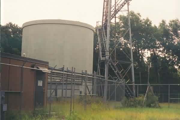
A view of the GFA site and neighboring water tower from the north side. [looking south]
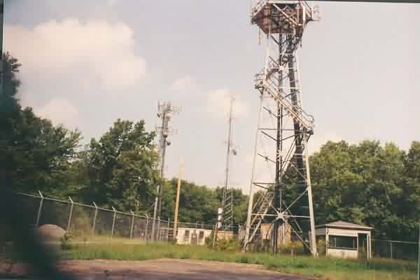
A view of the GFA site and nearby commercial-transmitter buildings from the south side. [looking north, using a 28-mm wide-angle lens]
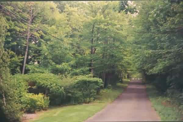
The site access road, looking up the hill toward the GFA site. [looking east]
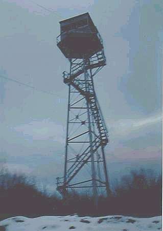
1991 photo source http://www.firelookout.org/towers/ma/westborough.htm
..................................................................................................................................................................................................
