History of Beaverlodge AS, AB, CN
Beaverlodge (site C-21) was located in the beautiful Peace River Country in the northwest sector of Alberta's Saskatoon Mountain Provincial Park. Beaverlodge, a town of 1,400 population, was 12 miles to the east of the station. By car, the station was roughly 65 miles southeast of Dawson Creek, British Columbia or 320 miles northwest of Edmonton.
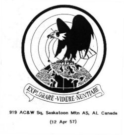
The station can trace its roots back to February 1953 when the USAF built and manned the 215 acre radar station that was perched atop of Saskatoon Mountain, 3,200 feet above sea level. The USAF's 919th Aircraft Control & Warning Squadron provided radar coverage until 1 April 1963 at which time the early warning facility was transferred to the RCAF.
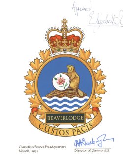
On 1 April 1963, the RCAF took control of the site and formed 57 Aircraft Control & Warning Squadron, RCAF Station Saskatoon Mountain. The station was SAGE-capable during the same year. In November 1963, 57 AC&W Squadron, RCAF Station Saskatoon Mountain became 57 Radar Squadron, RCAF Station Beaverlodge. The station had a rather majestic postal address of Trumpeter, Alberta. Prior to unification, the station was known as 57 Radar Squadron Beaverlodge. It assumed the new title of Canadian Forces Station Beaverlodge in 1966.
The station was a long range radar facility operationally responsible to the 25th NORAD Region at McChord AFB Washington. The station was administratively accountable to Canadian Forces Air Defence Command, and its successor Fighter Group. In August 1984, Beaverlodge became part of the Canada West ROCC. The station carried on its assigned duties until operations ceased on 1 April 1988.
--The NBC Group - Don Nicks, John Bradley, Chris Charland
Hide


