History of Cape Charles AFS, VA
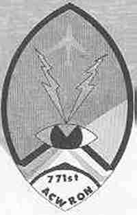
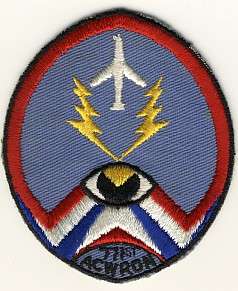
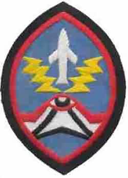
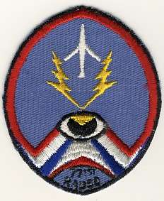
This site started in April 1950 as Lashup site L-15 using AN/CPS-5 search and AN/CPS-4 height-finder radars. This equipment was used when Fort Custis was incorporated into the lashup-permanent network as site LP-56, and then the permanent network as site P-56. The unit manning this facility, the 771st AC&W Squadron, continued operating the AN/CPS-4 and, as of April 1952, an AN/FPS-3 search radar as well; the AN/FPS-3 remained operational until 1962. In 1955 an AN/FPS-8 search radar was installed, converted to an AN/GPS-3, and operated through 1958. By the end of that year, two AN/FPS-6 height-finder radars were activated. During 1959 Cape Charles became a SAGE radar site. In 1963 the site hosted AN/FPS-7B, AN/FPS-6, and AN/FPS-26A radars. In 1963 the site also became an ADC/FAA joint-use facility. The facility came under TAC jurisdiction in 1979. The 771st Radar Squadron (SAGE) was deactivated 1 June 1981. A new JSS radar site at NAS Oceana assumed coverage for the area.
References: "Searching the Skies"; misc. ADCOM documents; eyewitness accounts.
Hide