History of Dauphin Island AFS, AL
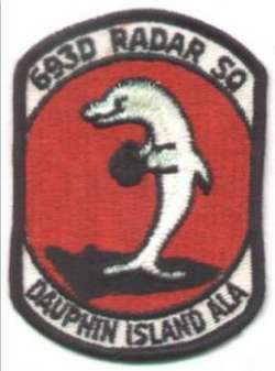
This site and the attendant 693rd AC&W Squadron became operational in January 1959. The site had an AN/FPS-20 search radar and two AN/FPS-6A height-finder radars. Dauphin Island began operating an AN/FPS-7 radar in 1960, and joined the SAGE system. In 1961 this site was an ADC/FAA joint-use facility. However, it was removed from joint-use status in 1962 and then put back in joint-use status in 1963. Two years later, the site was again removed from joint-use status. The Air Force deactivated the 693rd in September 1970. The site was re-opened in 1972 as part of the Southern Air Defense Systems (SADS). A second radar squadron, the 635th, arrived from Fort Lawton, Washington that year. This unit operated an AN/FPS-93 and an AN/FPS-6 radar. The 635th was deactivated on July 1, 1974. The radar site became operating location OLAG / 630th Radar Squadron, and later an operating location of the 678th Air Defense Group. The site closed for good on 30 September 1980.
References: "Searching the Skies"; misc. ADCOM documents; 1955 CONAD History document.
Hide

