History of Finley AFS, ND
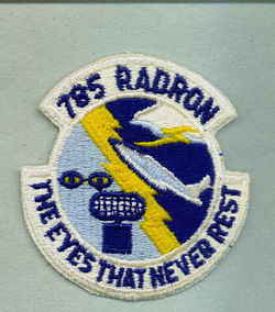
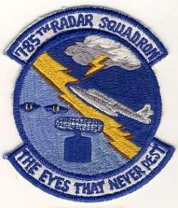
The 785th AC&W Squadron began operating an AN/FPS-3 search radar and AN/FPS-4 from this site in April 1952. In 1957 an AN/FPS-6 replaced the AN/FPS-4 height-finder radar, and an AN/FPS-8 search radar saw brief service. At the end of 1958 this site was operating an AN/FPS-20 radar. A second height-finder (AN/FPS-6B?) was added during 1959. At the end of 1959, Finley became a SAGE system input provider. In 1962 this station operated an AN/FPS-35 search radar plus AN/FPS-6 and AN/FPS-90 height-finder radars. The AN/FPS-6 was removed in 1969. The site was transferred to the TAC in October 1979. The 785th Radar Squadron (SAGE) was deactivated, and radar operations at Finley AFS (Z-29) ceased, on 30 December 1979 when a new JSS site was activated at the former GATR site about a mile to the northwest. The new Finley JSS site (Z-303/J-75) began operations with an FAA ARSR-3 search radar and an Air Force AN/FPS-116 height-finder radar (removed circa 1988). That site now operates an ARSR-4, as of the mid/late 1990?s.
References: "Searching the Skies"; misc. ADCOM documents; eyewitness accounts.
Hide

