History of Las Vegas AFS, NV
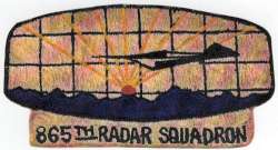
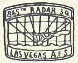
In 1956 the 865th AC&W Squadron activated AN/FPS-3 search and AN/MPS-14 height-finder radars at this site. In 1958 an AN/FPS-20A replaced the AN/FPS-3 search radar. By 1961 Las Vegas was an ADC/FAA joint-use facility, and provided data for the SAGE system. An AN/FPS-26A height-finder radar joined the site in 1963. In 1964 an AN/FPS-27 search radar set was installed, and in 1965 the AN/FPS-20A was retired from Air Force service (reportedly, the FAA retained this radar set). In 1968 the AN/MPS-14 height-finder radar was removed. The 865th Radar Squadron (SAGE) was deactivated 31 December 1969. The FAA continues to operate the AN/FPS-20A today. The site is now known as Angel Peak.
References: "Searching the Skies"; misc. ADCOM documents; eyewitness accounts.
Hide