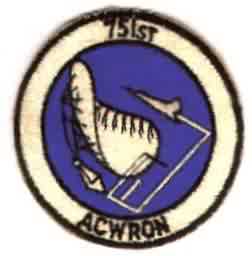
History of Mount Laguna AFS, CA
Operations at this peak began in April 1952. Within two months the radar assumed coverage formerly provided by the Minter Field Lashup site (L-34). At that time the 751st AC&W Squadron operated AN/CPS-4 and AN/FPS-3 radars. An AN/FPS-8 replaced the AN/CPS-4 in 1955. This radar then was converted to an AN/GPS-3 in 1956, and removed in 1960. 1956 also saw the arrival of an AN/FPS-6 at the site. The site became integrated into the SAGE system in 1961. By 1962 the 751st operated an AN/FPS-7C search radar and AN/FPS-6 and 6B height-finder radars. In 1963 the -6B was upgraded to an AN/FPS-90 set. In 1964 the AN/FPS-6 was replaced by an AN/FPS-26A FD height-finder radar; this radar was subsequently converted to an AN/FSS-7 SLBM D&W radar in 1966. A new AN/FPS-6 height-finder radar reportedly was then installed to compensate for the loss of the -26. Mt. Laguna became a joint-use ADC/FAA facility around 1965. In 1979 the facility came under TAC jurisdiction. In the 1980s the FAA assumed greater control, replacing the AN/FPS-7E with an ARSR-3 search radar, leaving the Air Force only responsible for the height-finder tower (by then an AN/FPS-116), which was removed circa 1988. In the late 1990?s, the ARSR-3 was replaced by the ARSR-4.
References: "Searching the Skies"; misc. ADCOM documents; eyewitness accounts.
Hide


