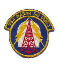
History of Saint Albans AFS, VT
The 764th AC&W Squadron began operating an AN/CPS-6B radar at this site in September 1951, and assumed coverage provided by L-3 at Fort Ethan Allen. The search portion of this radar remained in service until 1962. The height-finder portion was retired from service in 1958 with the arrival of an AN/FPS-6. A second AN/FPS-6 unit arrived during 1959. This was the year St. Albans joined the SAGE system. Beginning in 1962, this site operated with an AN/FPS-7C search radar. An AN/FPS-26A arrived in 1963 to replace one of the AN/FPS-6 height-finder radars. The other AN/FPS-6 was retired in 1968. The AN/FPS-7C was later upgraded to an AN/FPS-107. The 764th Radar Squadron (SAGE) was deactivated 1 April 1979. The FAA assumed control of the site, and continues to operate an AN/FPS-67B (now CARSR) search radar there today (in the former AN/FPS-107 radar tower).
References: "Searching the Skies"; misc. ADCOM documents; eyewitness accounts.
Hide