History of Savannah AFS (Hunter AFB), GA
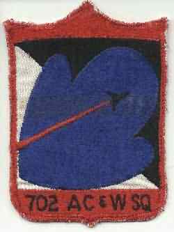
In 1955 the 702nd AC&W Squadron began operating AN/MPS-7, AN/TPS-10D, and AN/MPS-14 radars. From 1956 to 1958, an AN/GPS-3 also saw service at Hunter AFB. By 1959 only AN/FPS-20A and AN/MPS-14 sets were operating here. Circa 1961 Hunter received an AN/FPS-26 height-finder radar. In 1962 the FPS-20A was upgraded to become an AN/FPS-67, and Hunter joined the SAGE system. The AN/FPS-67 was upgraded to an AN/FPS-67B in 1966, and the AN/MPS-14 was removed in 1968. When Hunter AFB was transferred to the US Army becoming Hunter Army Airfield (AAF), the radar site was renamed Savannah AFS. The 702nd Radar Squadron was deactivated 30 June 1979.
References: "Searching the Skies"; misc. ADCOM documents; eyewitness accounts.
Hide